Distance to Hartland Township, Minnesota

Calculating Your Route
Just a moment while we process your request...
Location Information
-
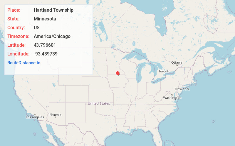
Full AddressHartland Township, MN
-
Coordinates43.7966008, -93.4397386
-
LocationHartland Township , Minnesota , US
-
TimezoneAmerica/Chicago
-
Current Local Time5:26:24 AM America/ChicagoWednesday, May 21, 2025
-
Page Views0
About Hartland Township
Hartland Township is a township in Freeborn County, Minnesota, United States. The population was 298 at the 2000 census.
Hartland Township was organized in 1858. A share of the early settlers being natives of Hartland, Vermont caused the name to be selected.
Nearby Places
Found 10 places within 50 miles

Hartland
2.4 mi
3.9 km
Hartland, MN 56042
Get directions
Bath
3.2 mi
5.1 km
Bath, MN 56042
Get directions
Manchester
4.9 mi
7.9 km
Manchester, MN 56007
Get directions
Clarks Grove
6.0 mi
9.7 km
Clarks Grove, MN 56016
Get directions

Bancroft Township
6.5 mi
10.5 km
Bancroft Township, MN
Get directions

Freeborn
6.6 mi
10.6 km
Freeborn, MN
Get directions
New Richland
7.2 mi
11.6 km
New Richland, MN 56072
Get directions
Bancroft
7.8 mi
12.6 km
Bancroft, MN 56007
Get directions
Ellendale
8.7 mi
14.0 km
Ellendale, MN 56026
Get directions

Geneva
8.8 mi
14.2 km
Geneva, MN
Get directions
Location Links
Local Weather
Weather Information
Coming soon!
Location Map
Static map view of Hartland Township, Minnesota
Browse Places by Distance
Places within specific distances from Hartland Township
Short Distances
Long Distances
Click any distance to see all places within that range from Hartland Township. Distances shown in miles (1 mile ≈ 1.61 kilometers).