Distance to Harvard, Massachusetts

Calculating Your Route
Just a moment while we process your request...
Location Information
-
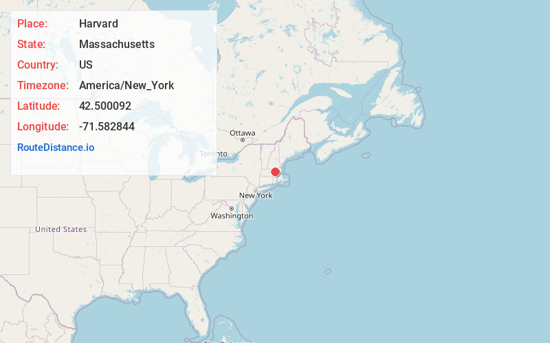
Full AddressHarvard, MA
-
Coordinates42.5000919, -71.5828444
-
LocationHarvard , Massachusetts , US
-
TimezoneAmerica/New_York
-
Current Local Time3:14:05 PM America/New_YorkWednesday, June 18, 2025
-
Website
-
Page Views0
About Harvard
Harvard is a town in Worcester County, Massachusetts, United States. The town is located 25 miles west-northwest of Boston, in eastern Massachusetts. It is mostly bounded by I-495 to the east and Route 2 to the north.


Nearby Places
Found 10 places within 50 miles

Ayer
4.2 mi
6.8 km
Ayer, MA
Get directions

Littleton
4.4 mi
7.1 km
Littleton, MA
Get directions

Shirley
4.5 mi
7.2 km
Shirley, MA
Get directions

Lancaster
5.6 mi
9.0 km
Lancaster, MA
Get directions

Stow
5.9 mi
9.5 km
Stow, MA 01775
Get directions

Clinton
7.4 mi
11.9 km
Clinton, MA
Get directions

Groton
7.5 mi
12.1 km
Groton, MA
Get directions

Hudson
7.5 mi
12.1 km
Hudson, MA
Get directions

Acton
7.7 mi
12.4 km
Acton, MA
Get directions

Leominster
9.2 mi
14.8 km
Leominster, MA
Get directions
Location Links
Local Weather
Weather Information
Coming soon!
Location Map
Static map view of Harvard, Massachusetts
Browse Places by Distance
Places within specific distances from Harvard
Short Distances
Long Distances
Click any distance to see all places within that range from Harvard. Distances shown in miles (1 mile ≈ 1.61 kilometers).