Distance to Harvieland, Kentucky

Calculating Your Route
Just a moment while we process your request...
Location Information
-
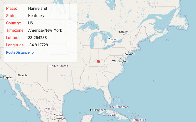
Full AddressHarvieland, KY 40601
-
Coordinates38.2542379, -84.9127289
-
LocationKentucky , US
-
TimezoneAmerica/New_York
-
Current Local Time2:55:41 AM America/New_YorkFriday, June 20, 2025
-
Page Views0
Nearby Places
Found 10 places within 50 miles

Choateville
3.8 mi
6.1 km
Choateville, KY 40601
Get directions

Benson
4.1 mi
6.6 km
Benson, KY 40601
Get directions

Frankfort
4.5 mi
7.2 km
Frankfort, KY 40601
Get directions
Ottusville
4.8 mi
7.7 km
Ottusville, KY 40601
Get directions
Flag Fork
5.0 mi
8.0 km
Flag Fork, KY 40601
Get directions
Peaks Mill
6.2 mi
10.0 km
Peaks Mill, KY 40601
Get directions
Big Eddy
6.5 mi
10.5 km
Big Eddy, KY 40601
Get directions
Polsgrove
6.7 mi
10.8 km
Polsgrove, KY 40601
Get directions
Elsinore
6.7 mi
10.8 km
Elsinore, KY 40601
Get directions
Bridgeport
6.8 mi
10.9 km
Bridgeport, KY 40601
Get directions
Location Links
Local Weather
Weather Information
Coming soon!
Location Map
Static map view of Harvieland, Kentucky
Browse Places by Distance
Places within specific distances from Harvieland
Short Distances
Long Distances
Click any distance to see all places within that range from Harvieland. Distances shown in miles (1 mile ≈ 1.61 kilometers).