Distance to Benson, Kentucky

Calculating Your Route
Just a moment while we process your request...
Location Information
-
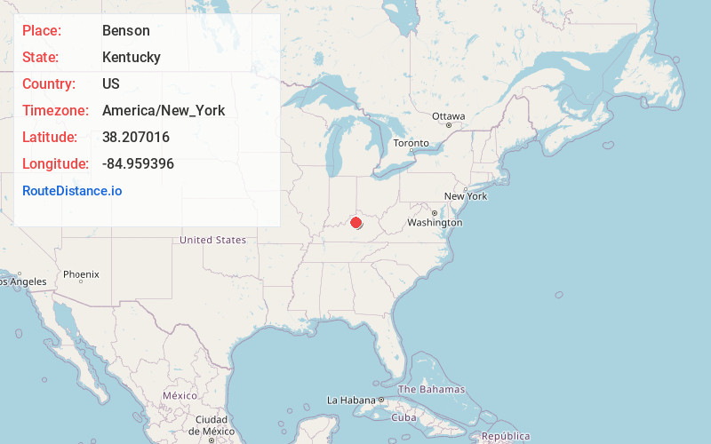
Full AddressBenson, KY 40601
-
Coordinates38.207016, -84.9593964
-
LocationKentucky , US
-
TimezoneAmerica/New_York
-
Current Local Time7:00:45 PM America/New_YorkThursday, June 5, 2025
-
Page Views0


Nearby Places
Found 10 places within 50 miles

Bridgeport
3.3 mi
5.3 km
Bridgeport, KY 40601
Get directions

Frankfort
4.5 mi
7.2 km
Frankfort, KY 40601
Get directions

Bagdad
6.6 mi
10.6 km
Bagdad, KY 40003
Get directions
Flag Fork
7.9 mi
12.7 km
Flag Fork, KY 40601
Get directions
Alton
8.3 mi
13.4 km
Alton, KY 40342
Get directions
Old Christianburg
8.5 mi
13.7 km
Old Christianburg, KY 40003
Get directions
Alton Station
9.0 mi
14.5 km
Alton Station, KY 40342
Get directions
Hemp Ridge
9.6 mi
15.4 km
Hemp Ridge, KY 40076
Get directions
Ninevah
9.6 mi
15.4 km
Ninevah, KY 40342
Get directions
Elmburg
10.0 mi
16.1 km
Elmburg, KY 40057
Get directions
Location Links
Local Weather
Weather Information
Coming soon!
Location Map
Static map view of Benson, Kentucky
Browse Places by Distance
Places within specific distances from Benson
Short Distances
Long Distances
Click any distance to see all places within that range from Benson. Distances shown in miles (1 mile ≈ 1.61 kilometers).