Distance to Hatchechubbee, Alabama

Calculating Your Route
Just a moment while we process your request...
Location Information
-
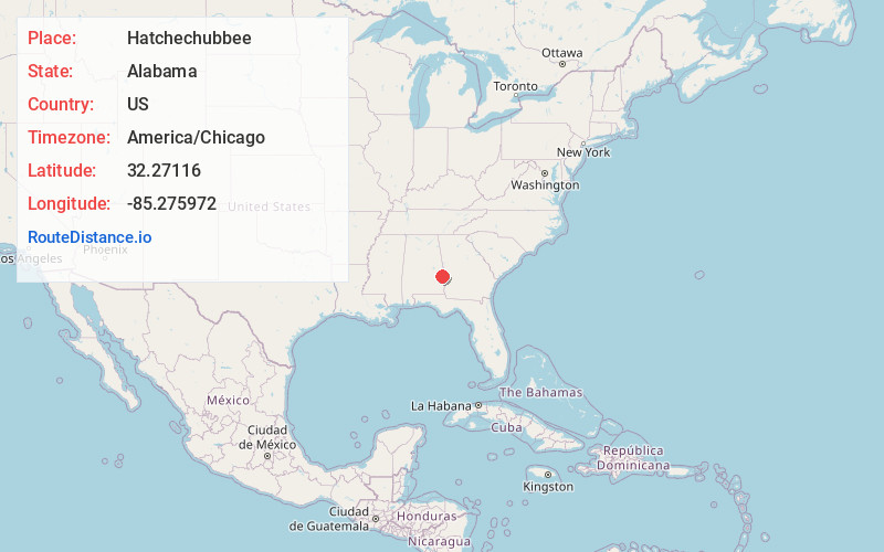
Full AddressHatchechubbee, AL 36858
-
Coordinates32.2711598, -85.2759724
-
LocationHatchechubbee , Alabama , US
-
TimezoneAmerica/Chicago
-
Current Local Time10:05:52 AM America/ChicagoThursday, June 19, 2025
-
Page Views0
About Hatchechubbee
Hatchechubbee is an unincorporated community in Russell County, Alabama, United States. Hatchechubbee is located at the junction of Alabama State Route 26 and County Route 65, 6.5 miles west-southwest of Seale. Hatchechubbee has a post office with ZIP code 36858, which opened on August 17, 1855.
Nearby Places
Found 10 places within 50 miles

Sandfort
5.6 mi
9.0 km
Sandfort, AL 36875
Get directions
Hooks
6.0 mi
9.7 km
Hooks, AL 36871
Get directions
Rutherford
6.2 mi
10.0 km
Rutherford, AL 36860
Get directions

Seale
6.5 mi
10.5 km
Seale, AL 36875
Get directions
Uchee
7.6 mi
12.2 km
Uchee, AL 36860
Get directions
Hurtsboro
8.4 mi
13.5 km
Hurtsboro, AL 36860
Get directions
Uhland
10.7 mi
17.2 km
Uhland, AL 36804
Get directions
Lato
10.8 mi
17.4 km
Lato, AL 36875
Get directions
Hirsch
11.3 mi
18.2 km
Hirsch, AL 36871
Get directions

Glenville
11.4 mi
18.3 km
Glenville, AL 36871
Get directions
Location Links
Local Weather
Weather Information
Coming soon!
Location Map
Static map view of Hatchechubbee, Alabama
Browse Places by Distance
Places within specific distances from Hatchechubbee
Short Distances
Long Distances
Click any distance to see all places within that range from Hatchechubbee. Distances shown in miles (1 mile ≈ 1.61 kilometers).