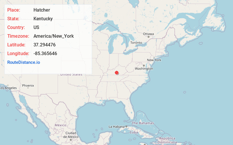
Distance to Hatcher, Kentucky

Calculating Your Route
Just a moment while we process your request...
Location Information
-
Full AddressHatcher, KY 42718
-
Coordinates37.294476, -85.365646
-
LocationHatcher , Kentucky , US
-
TimezoneAmerica/New_York
-
Current Local Time1:30:30 AM America/New_YorkMonday, June 23, 2025
-
Page Views0
About Hatcher
Hatcher is an unincorporated community in Taylor County, Kentucky, United States. It lies along Route 55 south of the city of Campbellsville, the county seat of Taylor County. Its elevation is 820 feet.
Nearby Places
Found 10 places within 50 miles

Burdick
1.5 mi
2.4 km
Burdick, KY 42718
Get directions
Wrights
2.3 mi
3.7 km
Wrights, KY 42718
Get directions

Campbellsville
3.6 mi
5.8 km
Campbellsville, KY 42718
Get directions
Whitewood
3.9 mi
6.3 km
Whitewood, KY 42743
Get directions
Romine
4.2 mi
6.8 km
Romine, KY 42718
Get directions
Sweeneyville
4.4 mi
7.1 km
Sweeneyville, KY 42718
Get directions
Elk Horn
4.7 mi
7.6 km
Elk Horn, KY 42733
Get directions
Roachville
4.9 mi
7.9 km
Roachville, KY 42718
Get directions
Bluff Boom
5.4 mi
8.7 km
Bluff Boom, KY 42743
Get directions
Arista
6.1 mi
9.8 km
Arista, KY 42718
Get directions
Location Links
Local Weather
Weather Information
Coming soon!
Location Map
Static map view of Hatcher, Kentucky
Browse Places by Distance
Places within specific distances from Hatcher
Short Distances
Long Distances
Click any distance to see all places within that range from Hatcher. Distances shown in miles (1 mile ≈ 1.61 kilometers).