Distance to Hatfield Government Center MAX, Oregon

Calculating Your Route
Just a moment while we process your request...
Location Information
-
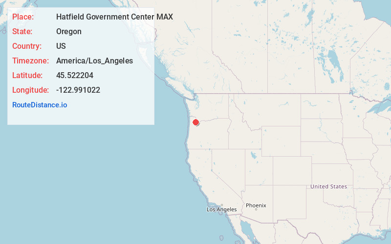
Full AddressHatfield Government Center MAX, Hillsboro, OR 97123
-
Coordinates45.522204, -122.991022
-
LocationHillsboro , Oregon , US
-
TimezoneAmerica/Los_Angeles
-
Current Local Time4:10:22 PM America/Los_AngelesWednesday, June 18, 2025
-
Website
-
Page Views0


Nearby Places
Found 10 places within 50 miles

Hillsboro
0.2 mi
0.3 km
Hillsboro, OR
Get directions

Hidden Creek Park East
3.0 mi
4.8 km
Hidden Creek Park East, Hillsboro, OR 97124
Get directions

Cornelius
3.3 mi
5.3 km
Cornelius, OR
Get directions

Blooming
3.7 mi
6.0 km
Blooming, OR 97123
Get directions

Verboort
5.0 mi
8.0 km
Verboort, OR 97116
Get directions

North Plains
5.2 mi
8.4 km
North Plains, OR 97133
Get directions
Farmington
5.5 mi
8.9 km
Farmington, OR 97007
Get directions

Forest Grove
5.9 mi
9.5 km
Forest Grove, OR 97116
Get directions
West Union
5.9 mi
9.5 km
West Union, OR 97124
Get directions
Hazeldale
6.1 mi
9.8 km
Hazeldale, OR 97007
Get directions
Location Links
Local Weather
Weather Information
Coming soon!
Location Map
Static map view of Hatfield Government Center MAX, Oregon
Browse Places by Distance
Places within specific distances from Hatfield Government Center MAX
Short Distances
Long Distances
Click any distance to see all places within that range from Hatfield Government Center MAX. Distances shown in miles (1 mile ≈ 1.61 kilometers).