Distance to Hattontown, Virginia

Calculating Your Route
Just a moment while we process your request...
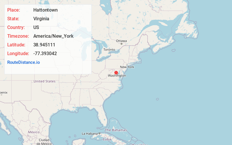
Location Information
-
Full AddressHattontown, Reston, VA 20191
-
Coordinates38.9451107, -77.3930423
-
NeighborhoodHunter Mill District
-
LocationReston , Virginia , US
-
TimezoneAmerica/New_York
-
Current Local Time5:31:14 AM America/New_YorkSaturday, June 7, 2025
-
Page Views0
About Hattontown
Hattontown is an unincorporated community in Fairfax County, Virginia, United States. It is on the CDP border of Reston. It was at one time a rural crossroads located at present-day State Routes 665 and 666 and was named for the Hattons, a family that resided in the area.
Nearby Places
Found 10 places within 50 miles

McNair
1.2 mi
1.9 km
McNair, VA
Get directions

Herndon
1.7 mi
2.7 km
Herndon, VA 20170
Get directions

Reston
2.2 mi
3.5 km
Reston, VA
Get directions

Dulles
3.3 mi
5.3 km
Dulles, VA 20166
Get directions
Navy
3.9 mi
6.3 km
Navy, Difficult Run, VA 20171
Get directions

Sterling
4.7 mi
7.6 km
Sterling, VA
Get directions

Chantilly
4.7 mi
7.6 km
Chantilly, VA
Get directions
Greenbriar
5.0 mi
8.0 km
Greenbriar, VA 22033
Get directions
Fairfax Farms
5.7 mi
9.2 km
Fairfax Farms, Fair Oaks, VA 22033
Get directions
Stony Hill
5.7 mi
9.2 km
Stony Hill, Virginia 20166
Get directions
Location Links
Local Weather
Weather Information
Coming soon!
Location Map
Static map view of Hattontown, Virginia
Browse Places by Distance
Places within specific distances from Hattontown
Short Distances
Long Distances
Click any distance to see all places within that range from Hattontown. Distances shown in miles (1 mile ≈ 1.61 kilometers).