Distance to Hayden, Arizona

Calculating Your Route
Just a moment while we process your request...
Location Information
-
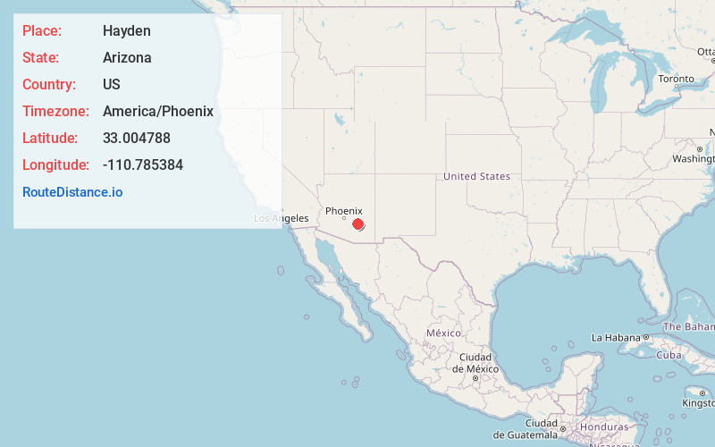
Full AddressHayden, AZ
-
Coordinates33.0047878, -110.7853836
-
LocationHayden , Arizona , US
-
TimezoneAmerica/Phoenix
-
Current Local Time5:31:28 PM America/PhoenixSaturday, June 14, 2025
-
Page Views0
About Hayden
Hayden is a town in Gila and Pinal counties in Arizona, United States. According to the 2010 census, the population of the town was 662.


Nearby Places
Found 10 places within 50 miles

Kearny
8.0 mi
12.9 km
Kearny, AZ 85137
Get directions

Mammoth
21.2 mi
34.1 km
Mammoth, AZ
Get directions

Superior
26.9 mi
43.3 km
Superior, AZ
Get directions

Globe
26.9 mi
43.3 km
Globe, AZ
Get directions

Oracle
27.2 mi
43.8 km
Oracle, AZ 85623
Get directions

Miami
27.7 mi
44.6 km
Miami, AZ 85539
Get directions

Peridot
27.8 mi
44.7 km
Peridot, AZ
Get directions

Claypool
28.3 mi
45.5 km
Claypool, AZ
Get directions

San Manuel
29.4 mi
47.3 km
San Manuel, AZ
Get directions

San Carlos
30.9 mi
49.7 km
San Carlos, AZ 85550
Get directions
Location Links
Local Weather
Weather Information
Coming soon!
Location Map
Static map view of Hayden, Arizona
Browse Places by Distance
Places within specific distances from Hayden
Short Distances
Long Distances
Click any distance to see all places within that range from Hayden. Distances shown in miles (1 mile ≈ 1.61 kilometers).