Distance to Hazard, Nebraska

Calculating Your Route
Just a moment while we process your request...
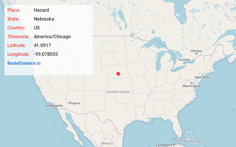
Location Information
-
Full AddressHazard, NE 68844
-
Coordinates41.0917, -99.0780546
-
LocationHazard , Nebraska , US
-
TimezoneAmerica/Chicago
-
Current Local Time1:52:14 AM America/ChicagoFriday, June 13, 2025
-
Page Views0
About Hazard
Hazard is a village in Sherman County, Nebraska, United States. The population was 57 as of the 2020 United States census

Nearby Places
Found 10 places within 50 miles

Litchfield
6.0 mi
9.7 km
Litchfield, NE 68852
Get directions

Pleasanton
8.6 mi
13.8 km
Pleasanton, NE 68866
Get directions

Ravenna
9.7 mi
15.6 km
Ravenna, NE 68869
Get directions
Rockville
13.0 mi
20.9 km
Rockville, NE 68871
Get directions

Loup City
14.0 mi
22.5 km
Loup City, NE 68853
Get directions
Mason City
14.7 mi
23.7 km
Mason City, NE 68855
Get directions

Ashton
18.3 mi
29.5 km
Ashton, NE 68817
Get directions
Boelus
18.9 mi
30.4 km
Boelus, NE 68820
Get directions
Miller
20.0 mi
32.2 km
Miller, NE 68858
Get directions

Amherst
20.1 mi
32.3 km
Amherst, NE 68812
Get directions
Location Links
Local Weather
Weather Information
Coming soon!
Location Map
Static map view of Hazard, Nebraska
Browse Places by Distance
Places within specific distances from Hazard
Short Distances
Long Distances
Click any distance to see all places within that range from Hazard. Distances shown in miles (1 mile ≈ 1.61 kilometers).