Distance to Hedville, Kansas

Calculating Your Route
Just a moment while we process your request...
Location Information
-
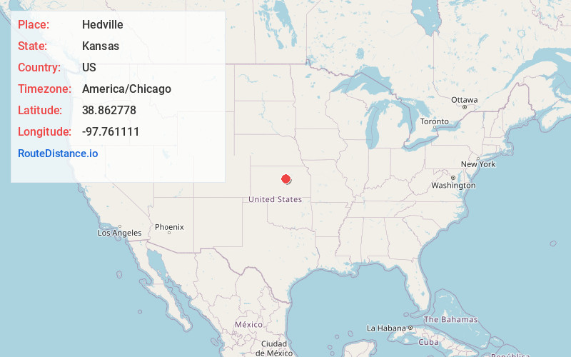
Full AddressHedville, KS 67401
-
Coordinates38.862778, -97.761111
-
LocationHedville , Kansas , US
-
TimezoneAmerica/Chicago
-
Current Local Time5:29:42 AM America/ChicagoThursday, June 19, 2025
-
Page Views0
About Hedville
Hedville is an unincorporated community in Ohio Township, Saline County, Kansas, United States. It lies along Hedville Road and a Kansas and Oklahoma Railroad line, 1.0 mile south of Interstate 70, northwest of Salina. The Rolling Hills Zoo is located approximately 1.0 mile south of the community.

Nearby Places
Found 10 places within 50 miles

Bavaria
4.5 mi
7.2 km
Bavaria, KS 67401
Get directions
Shipton
5.5 mi
8.9 km
Shipton, Elm Creek Township, KS 67401
Get directions
Marydel
6.0 mi
9.7 km
Marydel, Pleasant Valley Township, KS 67484
Get directions
Glendale
6.6 mi
10.6 km
Glendale, KS 67425
Get directions
Culver
7.5 mi
12.1 km
Culver, KS 67484
Get directions

Salina
8.2 mi
13.2 km
Salina, KS
Get directions

Brookville
8.4 mi
13.5 km
Brookville, KS 67425
Get directions
Smolan
9.5 mi
15.3 km
Smolan, KS 67456
Get directions
Juniata
11.5 mi
18.5 km
Juniata, Madison Township, KS 67423
Get directions
Tescott
11.8 mi
19.0 km
Tescott, KS 67484
Get directions
Location Links
Local Weather
Weather Information
Coming soon!
Location Map
Static map view of Hedville, Kansas
Browse Places by Distance
Places within specific distances from Hedville
Short Distances
Long Distances
Click any distance to see all places within that range from Hedville. Distances shown in miles (1 mile ≈ 1.61 kilometers).