Distance to Hemple, Missouri

Calculating Your Route
Just a moment while we process your request...
Location Information
-
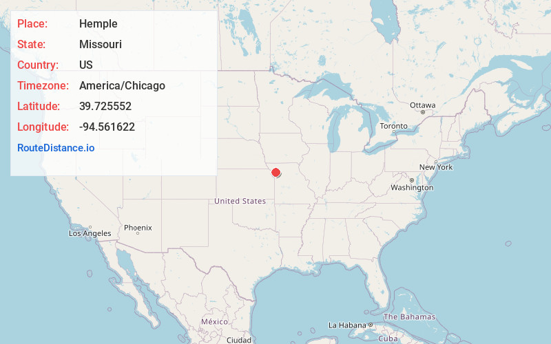
Full AddressHemple, MO 64490
-
Coordinates39.7255524, -94.561622
-
LocationHemple , Missouri , US
-
TimezoneAmerica/Chicago
-
Current Local Time9:52:51 AM America/ChicagoFriday, June 6, 2025
-
Page Views0
About Hemple
Hemple is an unincorporated community in northwestern Clinton County, Missouri, and is part of the Kansas City metropolitan area within the United States. It is located approximately 3.5 miles southwest of Stewartsville in Dekalb County and four miles east of Easton in Buchanan County.
Nearby Places
Found 10 places within 50 miles

Stewartsville
3.9 mi
6.3 km
Stewartsville, MO 64490
Get directions
Easton
4.3 mi
6.9 km
Easton, MO 64443
Get directions
Clarksdale
6.1 mi
9.8 km
Clarksdale, MO 64430
Get directions
Gower
8.0 mi
12.9 km
Gower, MO 64454
Get directions
Scearces
10.4 mi
16.7 km
Scearces, Atchison Township, MO 64477
Get directions
Agency
11.0 mi
17.7 km
Agency, MO
Get directions

Osborn
11.1 mi
17.9 km
Osborn, MO 64474
Get directions
Cosby
11.4 mi
18.3 km
Cosby, MO 64436
Get directions
Amity
12.1 mi
19.5 km
Amity, MO 64422
Get directions

Plattsburg
12.6 mi
20.3 km
Plattsburg, MO 64477
Get directions
Location Links
Local Weather
Weather Information
Coming soon!
Location Map
Static map view of Hemple, Missouri
Browse Places by Distance
Places within specific distances from Hemple
Short Distances
Long Distances
Click any distance to see all places within that range from Hemple. Distances shown in miles (1 mile ≈ 1.61 kilometers).