Distance to Osborn, Missouri

Calculating Your Route
Just a moment while we process your request...
Location Information
-
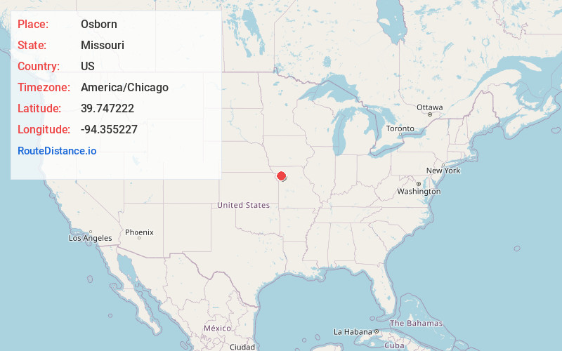
Full AddressOsborn, MO 64474
-
Coordinates39.7472222, -94.355227
-
LocationOsborn , Missouri , US
-
TimezoneAmerica/Chicago
-
Current Local Time4:02:14 AM America/ChicagoFriday, June 6, 2025
-
Page Views0
About Osborn
Osborn is a city in northern Clinton and southern DeKalb counties in the U.S. state of Missouri. The population was 374 at the 2020 census.

Nearby Places
Found 10 places within 50 miles

Cameron
6.1 mi
9.8 km
Cameron, MO 64429
Get directions

Stewartsville
7.5 mi
12.1 km
Stewartsville, MO 64490
Get directions

Maysville
9.8 mi
15.8 km
Maysville, MO 64469
Get directions

Plattsburg
13.5 mi
21.7 km
Plattsburg, MO 64477
Get directions
Kidder
13.6 mi
21.9 km
Kidder, MO 64649
Get directions

Lathrop
13.8 mi
22.2 km
Lathrop, MO 64465
Get directions
Gower
16.0 mi
25.7 km
Gower, MO 64454
Get directions

Hamilton
19.0 mi
30.6 km
Hamilton, MO 64644
Get directions

Holt
20.4 mi
32.8 km
Holt, MO 64048
Get directions
Union Star
20.7 mi
33.3 km
Union Star, MO 64494
Get directions
Location Links
Local Weather
Weather Information
Coming soon!
Location Map
Static map view of Osborn, Missouri
Browse Places by Distance
Places within specific distances from Osborn
Short Distances
Long Distances
Click any distance to see all places within that range from Osborn. Distances shown in miles (1 mile ≈ 1.61 kilometers).