Distance to Clarksdale, Missouri

Calculating Your Route
Just a moment while we process your request...
Location Information
-
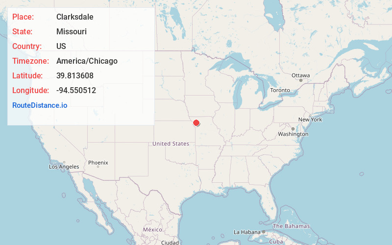
Full AddressClarksdale, MO 64430
-
Coordinates39.8136076, -94.5505117
-
LocationClarksdale , Missouri , US
-
TimezoneAmerica/Chicago
-
Current Local Time1:11:01 AM America/ChicagoWednesday, June 18, 2025
-
Page Views0
About Clarksdale
Clarksdale is a city in southwest DeKalb County, Missouri, United States, located along the Little Third Fork of the Platte River. The population was 245 at the 2020 census. It is part of the St. Joseph, MO–KS Metropolitan Statistical Area.
Nearby Places
Found 10 places within 50 miles

Stewartsville
5.2 mi
8.4 km
Stewartsville, MO 64490
Get directions

Maysville
11.3 mi
18.2 km
Maysville, MO 64469
Get directions

Osborn
11.3 mi
18.2 km
Osborn, MO 64474
Get directions
Union Star
11.8 mi
19.0 km
Union Star, MO 64494
Get directions
Gower
14.1 mi
22.7 km
Gower, MO 64454
Get directions
Agency
15.4 mi
24.8 km
Agency, MO
Get directions

St Joseph
16.0 mi
25.7 km
St Joseph, MO
Get directions
King City
16.5 mi
26.6 km
King City, MO 64463
Get directions

Cameron
17.2 mi
27.7 km
Cameron, MO 64429
Get directions
Savannah
17.3 mi
27.8 km
Savannah, MO 64485
Get directions
Location Links
Local Weather
Weather Information
Coming soon!
Location Map
Static map view of Clarksdale, Missouri
Browse Places by Distance
Places within specific distances from Clarksdale
Short Distances
Long Distances
Click any distance to see all places within that range from Clarksdale. Distances shown in miles (1 mile ≈ 1.61 kilometers).