Distance to Hewitt, Oklahoma

Calculating Your Route
Just a moment while we process your request...
Location Information
-
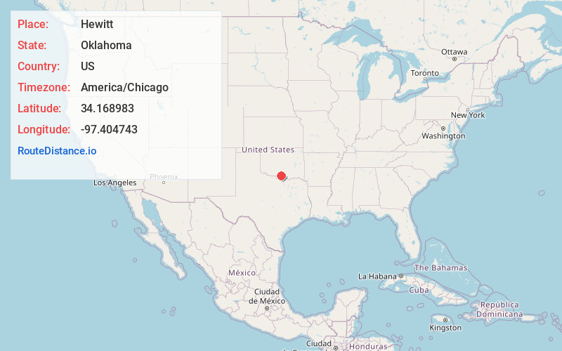
Full AddressHewitt, Wilson, OK 73463
-
Coordinates34.1689828, -97.4047433
-
LocationWilson , Oklahoma , US
-
TimezoneAmerica/Chicago
-
Current Local Time3:02:10 AM America/ChicagoThursday, June 19, 2025
-
Page Views0
About Hewitt
Hewitt is an unincorporated community located in Carter County, Oklahoma, United States. It is about 15 miles west of Ardmore, being off US Route 70 on Dillard Rd., located around the east boundary of the present-day City of Wilson, Oklahoma. The locale is old enough to appear on a 1911 Rand McNally map of the county.
Nearby Places
Found 10 places within 50 miles

Dillard
1.3 mi
2.1 km
Dillard, Wilson, OK 73463
Get directions
Wilson
1.3 mi
2.1 km
Wilson, OK 73463
Get directions
Rexroat
3.3 mi
5.3 km
Rexroat, OK 73463
Get directions
Zaneis
5.4 mi
8.7 km
Zaneis, OK 73463
Get directions

Healdton
6.5 mi
10.5 km
Healdton, OK
Get directions
Post Oak
6.8 mi
10.9 km
Post Oak, OK 73463
Get directions
Oil City
7.3 mi
11.7 km
Oil City, OK 73463
Get directions

Lone Grove
8.1 mi
13.0 km
Lone Grove, OK
Get directions
Cheek
9.4 mi
15.1 km
Cheek, OK 73443
Get directions
Newport
9.4 mi
15.1 km
Newport, OK 73401
Get directions
Location Links
Local Weather
Weather Information
Coming soon!
Location Map
Static map view of Hewitt, Oklahoma
Browse Places by Distance
Places within specific distances from Hewitt
Short Distances
Long Distances
Click any distance to see all places within that range from Hewitt. Distances shown in miles (1 mile ≈ 1.61 kilometers).