Distance to Hickoria, Arkansas

Calculating Your Route
Just a moment while we process your request...
Location Information
-
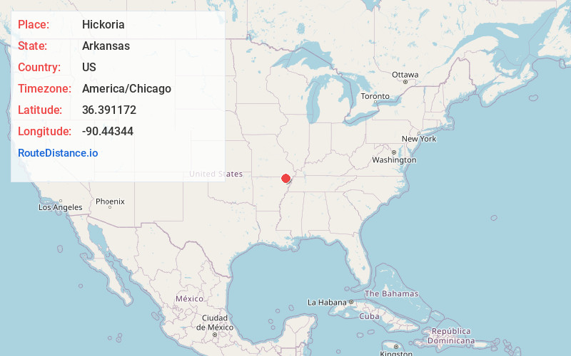
Full AddressHickoria, AR 72422
-
Coordinates36.3911718, -90.44344
-
LocationArkansas , US
-
TimezoneAmerica/Chicago
-
Current Local Time10:41:58 PM America/ChicagoWednesday, June 18, 2025
-
Page Views0
Nearby Places
Found 10 places within 50 miles

McDougal
4.4 mi
7.1 km
McDougal, AR
Get directions

Corning
8.1 mi
13.0 km
Corning, AR 72422
Get directions

Knobel
10.1 mi
16.3 km
Knobel, AR 72435
Get directions

Pollard
10.1 mi
16.3 km
Pollard, AR 72456
Get directions

Rector
12.2 mi
19.6 km
Rector, AR 72461
Get directions
Neelyville
12.3 mi
19.8 km
Neelyville, MO 63954
Get directions
Greenway
12.8 mi
20.6 km
Greenway, AR 72430
Get directions

Lafe
13.5 mi
21.7 km
Lafe, AR
Get directions

Piggott
14.1 mi
22.7 km
Piggott, AR 72454
Get directions
Heelstring
14.2 mi
22.9 km
Heelstring, AR 72422
Get directions
Location Links
Local Weather
Weather Information
Coming soon!
Location Map
Static map view of Hickoria, Arkansas
Browse Places by Distance
Places within specific distances from Hickoria
Short Distances
Long Distances
Click any distance to see all places within that range from Hickoria. Distances shown in miles (1 mile ≈ 1.61 kilometers).