Distance to Lafe, Arkansas

Calculating Your Route
Just a moment while we process your request...
Location Information
-
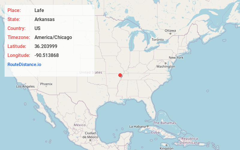
Full AddressLafe, AR
-
Coordinates36.2039994, -90.5138681
-
LocationLafe , Arkansas , US
-
TimezoneAmerica/Chicago
-
Current Local Time7:26:23 PM America/ChicagoFriday, May 30, 2025
-
Page Views0
About Lafe
Lafe is a town in Greene County, Arkansas, United States on Crowley's Ridge. The population was 448 at the 2010 census, up from 385 in 2000.


Nearby Places
Found 10 places within 50 miles

Oak Grove Heights
6.0 mi
9.7 km
Oak Grove Heights, AR 72450
Get directions

Marmaduke
7.3 mi
11.7 km
Marmaduke, AR 72443
Get directions

Paragould
10.6 mi
17.1 km
Paragould, AR 72450
Get directions

Rector
13.0 mi
20.9 km
Rector, AR 72461
Get directions

Corning
14.9 mi
24.0 km
Corning, AR 72422
Get directions

Cardwell
16.4 mi
26.4 km
Cardwell, MO 63829
Get directions

Reyno
17.3 mi
27.8 km
Reyno, AR
Get directions
Biggers
18.6 mi
29.9 km
Biggers, AR 72413
Get directions

Senath
20.3 mi
32.7 km
Senath, MO 63876
Get directions

Brookland
20.8 mi
33.5 km
Brookland, AR 72417
Get directions
Location Links
Local Weather
Weather Information
Coming soon!
Location Map
Static map view of Lafe, Arkansas
Browse Places by Distance
Places within specific distances from Lafe
Short Distances
Long Distances
Click any distance to see all places within that range from Lafe. Distances shown in miles (1 mile ≈ 1.61 kilometers).