Distance to Marmaduke, Arkansas

Calculating Your Route
Just a moment while we process your request...
Location Information
-
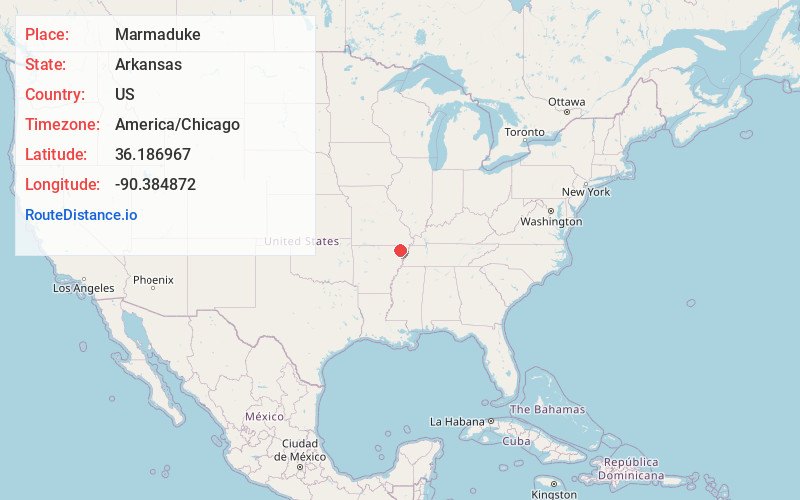
Full AddressMarmaduke, AR 72443
-
Coordinates36.1869666, -90.3848715
-
LocationMarmaduke , Arkansas , US
-
TimezoneAmerica/Chicago
-
Current Local Time8:51:48 AM America/ChicagoTuesday, June 24, 2025
-
Page Views0
About Marmaduke
Marmaduke is a city in Greene County, Arkansas, United States. The population was 1,212 in 2020.


Nearby Places
Found 10 places within 50 miles

Rector
7.4 mi
11.9 km
Rector, AR 72461
Get directions

Paragould
10.9 mi
17.5 km
Paragould, AR 72450
Get directions

Senath
13.1 mi
21.1 km
Senath, MO 63876
Get directions

Piggott
17.3 mi
27.8 km
Piggott, AR 72454
Get directions

Kennett
18.7 mi
30.1 km
Kennett, MO 63857
Get directions

Leachville
18.7 mi
30.1 km
Leachville, AR
Get directions

Corning
19.1 mi
30.7 km
Corning, AR 72422
Get directions

Brookland
22.1 mi
35.6 km
Brookland, AR 72417
Get directions

Manila
24.5 mi
39.4 km
Manila, AR 72442
Get directions

Lake City
25.5 mi
41.0 km
Lake City, AR 72437
Get directions
Location Links
Local Weather
Weather Information
Coming soon!
Location Map
Static map view of Marmaduke, Arkansas
Browse Places by Distance
Places within specific distances from Marmaduke
Short Distances
Long Distances
Click any distance to see all places within that range from Marmaduke. Distances shown in miles (1 mile ≈ 1.61 kilometers).