Distance to High Bluff, Florida

Calculating Your Route
Just a moment while we process your request...
Location Information
-
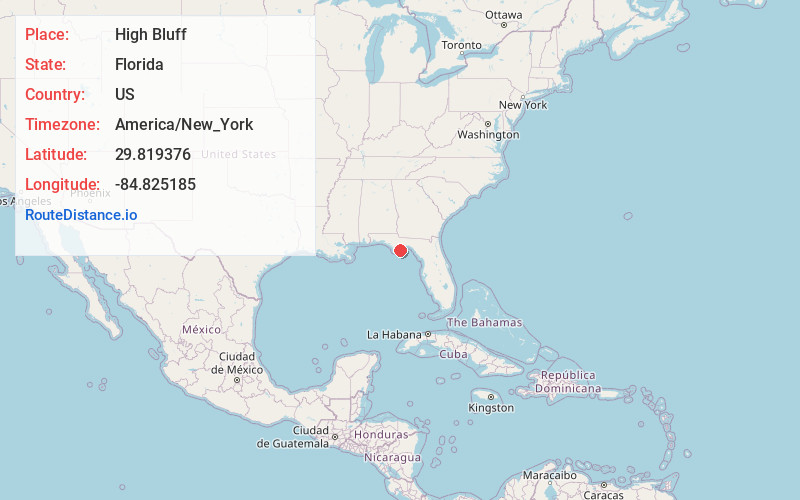
Full AddressHigh Bluff, FL 32328
-
Coordinates29.8193762, -84.8251848
-
LocationFlorida , US
-
TimezoneAmerica/New_York
-
Current Local Time5:28:50 AM America/New_YorkWednesday, June 18, 2025
-
Page Views0
Nearby Places
Found 10 places within 50 miles

Eastpoint
6.9 mi
11.1 km
Eastpoint, FL 32328
Get directions

Hays Place
7.4 mi
11.9 km
Hays Place, FL
Get directions

Carrabelle
9.9 mi
15.9 km
Carrabelle, FL 32322
Get directions
Fort Gadsden Creek
10.5 mi
16.9 km
Fort Gadsden Creek, Florida 32328
Get directions

Apalachicola
11.5 mi
18.5 km
Apalachicola, FL 32320
Get directions

St. George Island
11.6 mi
18.7 km
St. George Island, Florida 32328
Get directions
Morgan Place
13.8 mi
22.2 km
Morgan Place, FL
Get directions
Sumatra
16.7 mi
26.9 km
Sumatra, FL 32321
Get directions
Bon Ami
22.6 mi
36.4 km
Bon Ami, FL 32321
Get directions

St Teresa
23.6 mi
38.0 km
St Teresa, FL 32346
Get directions
Location Links
Local Weather
Weather Information
Coming soon!
Location Map
Static map view of High Bluff, Florida
Browse Places by Distance
Places within specific distances from High Bluff
Short Distances
Long Distances
Click any distance to see all places within that range from High Bluff. Distances shown in miles (1 mile ≈ 1.61 kilometers).