Distance to High Falls, Kentucky

Calculating Your Route
Just a moment while we process your request...
Location Information
-
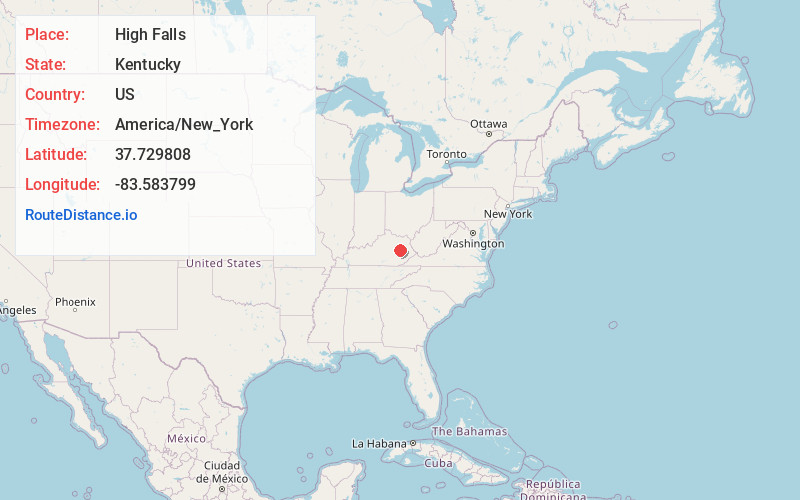
Full AddressHigh Falls, KY 41301
-
Coordinates37.7298078, -83.583799
-
LocationKentucky , US
-
TimezoneAmerica/New_York
-
Current Local Time9:10:33 PM America/New_YorkTuesday, June 24, 2025
-
Page Views0
Nearby Places
Found 10 places within 50 miles

Campton
2.0 mi
3.2 km
Campton, KY 41301
Get directions

Grannie
2.3 mi
3.7 km
Grannie, KY 41301
Get directions
Pine Ridge
2.9 mi
4.7 km
Pine Ridge, KY 41360
Get directions

Rogers
3.0 mi
4.8 km
Rogers, KY 41360
Get directions
Torrent
4.4 mi
7.1 km
Torrent, KY 41301
Get directions
Mary
5.0 mi
8.0 km
Mary, KY 41301
Get directions
Glencairn
5.3 mi
8.5 km
Glencairn, KY 41360
Get directions
Zachariah
5.7 mi
9.2 km
Zachariah, KY 41301
Get directions
Baptist
5.7 mi
9.2 km
Baptist, KY 41301
Get directions
Stillwater
5.7 mi
9.2 km
Stillwater, KY 41301
Get directions
Location Links
Local Weather
Weather Information
Coming soon!
Location Map
Static map view of High Falls, Kentucky
Browse Places by Distance
Places within specific distances from High Falls
Short Distances
Long Distances
Click any distance to see all places within that range from High Falls. Distances shown in miles (1 mile ≈ 1.61 kilometers).