Distance to High Ridge, Maryland

Calculating Your Route
Just a moment while we process your request...
Location Information
-
Full AddressHigh Ridge, North Laurel, MD 20723
-
Coordinates39.1181638, -76.8585844
-
LocationNorth Laurel , Maryland , US
-
TimezoneAmerica/New_York
-
Current Local Time7:44:17 PM America/New_YorkSaturday, May 24, 2025
-
Page Views0
About High Ridge
High Ridge is an unincorporated community in Howard County, Maryland, United States. A postal stop operated from May 25, 1892, through December 1895 and until May 1899 as "Highridge".
Nearby Places
Found 10 places within 50 miles

Laurel
1.4 mi
2.3 km
Laurel, MD
Get directions

Rocky Gorge Estates
1.5 mi
2.4 km
Rocky Gorge Estates, West Laurel, MD 20707
Get directions
North Laurel
1.6 mi
2.6 km
North Laurel, MD
Get directions
Hillsborough
2.0 mi
3.2 km
Hillsborough, West Laurel, MD 20707
Get directions

West Laurel
2.5 mi
4.0 km
West Laurel, MD
Get directions

Maryland City
2.8 mi
4.5 km
Maryland City, MD 20724
Get directions
South Laurel
3.4 mi
5.5 km
South Laurel, MD
Get directions
Valley Stream Estates
3.5 mi
5.6 km
Valley Stream Estates, Burtonsville, MD 20866
Get directions

Burtonsville
4.0 mi
6.4 km
Burtonsville, MD
Get directions
Konterra
4.1 mi
6.6 km
Konterra, MD
Get directions
Location Links
Local Weather
Weather Information
Coming soon!
Location Map
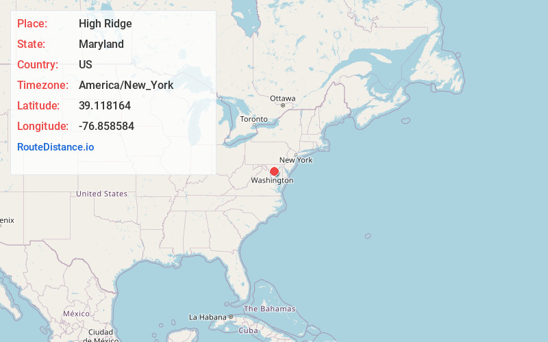
Static map view of High Ridge, Maryland
Browse Places by Distance
Places within specific distances from High Ridge
Short Distances
Long Distances
Click any distance to see all places within that range from High Ridge. Distances shown in miles (1 mile ≈ 1.61 kilometers).