Distance to Hightower, Oklahoma

Calculating Your Route
Just a moment while we process your request...
Location Information
-
Full AddressHightower, OK 73521
-
Coordinates34.6306264, -99.2536958
-
LocationOklahoma , US
-
TimezoneAmerica/Chicago
-
Current Local Time7:41:58 PM America/ChicagoWednesday, June 18, 2025
-
Page Views0
Nearby Places
Found 10 places within 50 miles

Ozark
2.4 mi
3.9 km
Ozark, OK 73549
Get directions

Altus
4.6 mi
7.4 km
Altus, OK
Get directions
Friendship
4.7 mi
7.6 km
Friendship, OK 73521
Get directions
Welon
5.5 mi
8.9 km
Welon, OK 73521
Get directions
Headrick
6.6 mi
10.6 km
Headrick, OK 73549
Get directions

Martha
10.0 mi
16.1 km
Martha, OK 73556
Get directions
Warren
10.8 mi
17.4 km
Warren, OK 73526
Get directions

Tipton
10.9 mi
17.5 km
Tipton, OK
Get directions

Olustee
11.1 mi
17.9 km
Olustee, OK
Get directions

Blair
11.3 mi
18.2 km
Blair, OK 73526
Get directions
Location Links
Local Weather
Weather Information
Coming soon!
Location Map
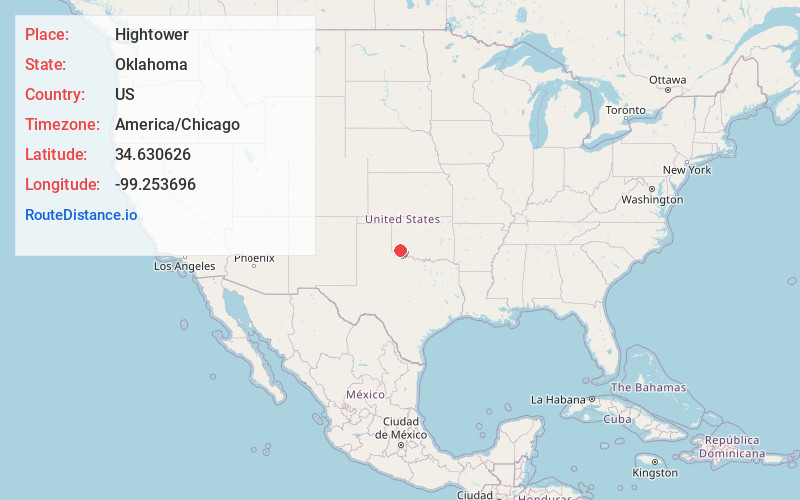
Static map view of Hightower, Oklahoma
Browse Places by Distance
Places within specific distances from Hightower
Short Distances
Long Distances
Click any distance to see all places within that range from Hightower. Distances shown in miles (1 mile ≈ 1.61 kilometers).