Distance to Martha, Oklahoma

Calculating Your Route
Just a moment while we process your request...
Location Information
-
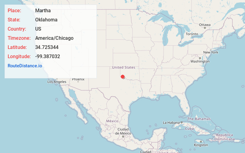
Full AddressMartha, OK 73556
-
Coordinates34.7253436, -99.3870318
-
LocationMartha , Oklahoma , US
-
TimezoneAmerica/Chicago
-
Current Local Time1:05:39 PM America/ChicagoWednesday, June 18, 2025
-
Page Views0
About Martha
Martha is a town in Jackson County, Oklahoma, United States. The population was 162 as of the 2020 United States census. The town is located about 9 driving miles north-northwest of the county seat of Altus.


Nearby Places
Found 10 places within 50 miles

Blair
4.8 mi
7.7 km
Blair, OK 73526
Get directions

Altus
6.8 mi
10.9 km
Altus, OK
Get directions

Duke
11.2 mi
18.0 km
Duke, OK 73532
Get directions

Mangum
12.1 mi
19.5 km
Mangum, OK 73554
Get directions

Olustee
12.4 mi
20.0 km
Olustee, OK
Get directions

Granite
16.4 mi
26.4 km
Granite, OK 73547
Get directions

Lone Wolf
19.8 mi
31.9 km
Lone Wolf, OK 73655
Get directions

Tipton
20.8 mi
33.5 km
Tipton, OK
Get directions

Roosevelt
22.4 mi
36.0 km
Roosevelt, OK 73564
Get directions

Eldorado
23.0 mi
37.0 km
Eldorado, OK 73537
Get directions
Location Links
Local Weather
Weather Information
Coming soon!
Location Map
Static map view of Martha, Oklahoma
Browse Places by Distance
Places within specific distances from Martha
Short Distances
Long Distances
Click any distance to see all places within that range from Martha. Distances shown in miles (1 mile ≈ 1.61 kilometers).