Distance to Hildebrand, Oregon

Calculating Your Route
Just a moment while we process your request...
Location Information
-
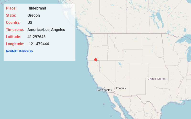
Full AddressHildebrand, OR 97623
-
Coordinates42.2976462, -121.4794442
-
LocationHildebrand , Oregon , US
-
TimezoneAmerica/Los_Angeles
-
Current Local Time9:38:08 PM America/Los_AngelesSaturday, June 7, 2025
-
Page Views0
About Hildebrand
Hildebrand is an unincorporated community in Klamath County, Oregon, United States. The community lies along Bliss Road off Oregon Route 140 northeast of Dairy.
Hildebrand had a station on the Oregon, California and Eastern Railway, which by 1929 reached from Klamath Falls to Bly.
Nearby Places
Found 10 places within 50 miles

Yonna
2.1 mi
3.4 km
Yonna, OR 97623
Get directions

Dairy
4.8 mi
7.7 km
Dairy, OR 97625
Get directions

Bonanza
7.8 mi
12.6 km
Bonanza, OR 97623
Get directions
Lost River
9.7 mi
15.6 km
Lost River, Oregon
Get directions

Sprague River
11.0 mi
17.7 km
Sprague River, OR
Get directions

Beatty
14.6 mi
23.5 km
Beatty, OR 97621
Get directions
Altamont
14.6 mi
23.5 km
Altamont, OR 97603
Get directions

Stukel Mountain
15.8 mi
25.4 km
Stukel Mountain, Oregon 97603
Get directions
Hot Springs
16.0 mi
25.7 km
Hot Springs, OR 97623
Get directions

Klamath Falls
16.3 mi
26.2 km
Klamath Falls, OR
Get directions
Location Links
Local Weather
Weather Information
Coming soon!
Location Map
Static map view of Hildebrand, Oregon
Browse Places by Distance
Places within specific distances from Hildebrand
Short Distances
Long Distances
Click any distance to see all places within that range from Hildebrand. Distances shown in miles (1 mile ≈ 1.61 kilometers).