Distance to Hobbs, New Mexico

Calculating Your Route
Just a moment while we process your request...
Location Information
-
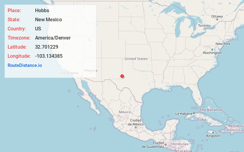
Full AddressHobbs, NM
-
Coordinates32.7012285, -103.1343854
-
LocationHobbs , New Mexico , US
-
TimezoneAmerica/Denver
-
Current Local Time12:25:39 AM America/DenverTuesday, July 1, 2025
-
Website
-
Page Views0
About Hobbs
Hobbs is a city in Lea County, New Mexico, United States. Its population was 40,508 at the 2020 census, increasing from 34,122 in 2010.
Hobbs is the principal city of the Hobbs, New Mexico micropolitan statistical area, which includes all of Lea County.


Nearby Places
Found 10 places within 50 miles

Humble City
8.1 mi
13.0 km
Humble City, NM 88240
Get directions

Monument
9.3 mi
15.0 km
Monument, NM 88240
Get directions
Knowles
9.6 mi
15.4 km
Knowles, NM 88242
Get directions

Arkansas Junction
12.6 mi
20.3 km
Arkansas Junction, NM 88240
Get directions

Oil Center
15.8 mi
25.4 km
Oil Center, NM 88231
Get directions
Jones City
15.9 mi
25.6 km
Jones City, NM 88231
Get directions
Higginbotham
16.1 mi
25.9 km
Higginbotham, TX 79323
Get directions

Lea County
18.8 mi
30.3 km
Lea County, NM
Get directions
Lovington
20.9 mi
33.6 km
Lovington, NM 88260
Get directions
Buckeye
22.7 mi
36.5 km
Buckeye, NM 88260
Get directions
Location Links
Local Weather
Weather Information
Coming soon!
Location Map
Static map view of Hobbs, New Mexico
Browse Places by Distance
Places within specific distances from Hobbs
Short Distances
Long Distances
Click any distance to see all places within that range from Hobbs. Distances shown in miles (1 mile ≈ 1.61 kilometers).