Distance to Lea County, New Mexico

Calculating Your Route
Just a moment while we process your request...
Location Information
-
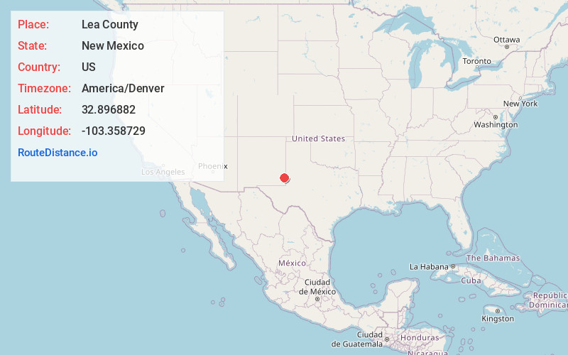
Full AddressLea County, NM
-
Coordinates32.8968816, -103.3587288
-
LocationNew Mexico , US
-
TimezoneAmerica/Denver
-
Current Local Time10:25:00 AM America/DenverWednesday, June 4, 2025
-
Page Views0
About Lea County
Lea County is a county located in the U.S. state of New Mexico. As of the 2020 census, its population was 74,455.
Its county seat is Lovington. It is both west and north of the Texas state line. Lea County comprises the Hobbs, NM micropolitan statistical area.


Nearby Places
Found 10 places within 50 miles
Lovington
3.3 mi
5.3 km
Lovington, NM 88260
Get directions

Humble City
10.7 mi
17.2 km
Humble City, NM 88240
Get directions
McDonald
17.0 mi
27.4 km
McDonald, NM 88260
Get directions

Monument
19.6 mi
31.5 km
Monument, NM 88240
Get directions
Higginbotham
21.3 mi
34.3 km
Higginbotham, TX 79323
Get directions

Maljamar
23.6 mi
38.0 km
Maljamar, NM 88264
Get directions
Gladiola
27.0 mi
43.5 km
Gladiola, NM 88267
Get directions

Oil Center
28.1 mi
45.2 km
Oil Center, NM 88231
Get directions

Bronco
30.3 mi
48.8 km
Bronco, TX 79355
Get directions

Denver City
31.1 mi
50.1 km
Denver City, TX 79323
Get directions
Location Links
Local Weather
Weather Information
Coming soon!
Location Map
Static map view of Lea County, New Mexico
Browse Places by Distance
Places within specific distances from Lea County
Short Distances
Long Distances
Click any distance to see all places within that range from Lea County. Distances shown in miles (1 mile ≈ 1.61 kilometers).