Distance to Hogeye, Arkansas

Calculating Your Route
Just a moment while we process your request...
Location Information
-
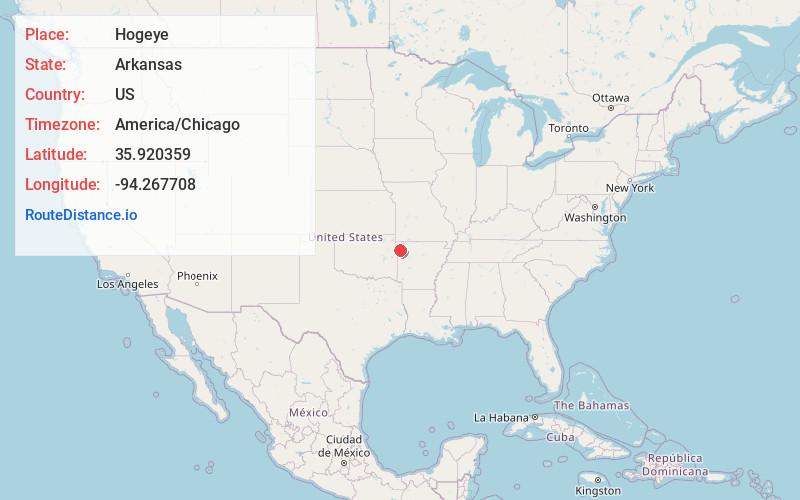
Full AddressHogeye, AR 72753
-
Coordinates35.9203592, -94.2677083
-
LocationArkansas , US
-
TimezoneAmerica/Chicago
-
Current Local Time3:34:27 AM America/ChicagoThursday, June 5, 2025
-
Page Views0
About Hogeye
Hogeye is an unincorporated community in Valley Township, Washington County, Arkansas, United States. It is located on Arkansas Highway 265 and Arkansas Highway 156.
Hogeye was said to be "no bigger than a hog's eye", hence the name.
Nearby Places
Found 10 places within 50 miles

Prairie Grove
4.7 mi
7.6 km
Prairie Grove, AR
Get directions

West Fork
5.0 mi
8.0 km
West Fork, AR 72774
Get directions

Strickler
6.4 mi
10.3 km
Strickler, AR 72774
Get directions

Canehill
7.3 mi
11.7 km
Canehill, AR
Get directions

Greenland
7.3 mi
11.7 km
Greenland, AR 72701
Get directions

Farmington
8.2 mi
13.2 km
Farmington, AR 72730
Get directions
Suttle
8.3 mi
13.4 km
Suttle, AR 72744
Get directions

Skylight Mountain
8.5 mi
13.7 km
Skylight Mountain, Arkansas 72753
Get directions

Lincoln
8.9 mi
14.3 km
Lincoln, AR 72744
Get directions
Floss
10.1 mi
16.3 km
Floss, AR 72753
Get directions
Location Links
Local Weather
Weather Information
Coming soon!
Location Map
Static map view of Hogeye, Arkansas
Browse Places by Distance
Places within specific distances from Hogeye
Short Distances
Long Distances
Click any distance to see all places within that range from Hogeye. Distances shown in miles (1 mile ≈ 1.61 kilometers).