Distance to Holbrook, Oregon

Calculating Your Route
Just a moment while we process your request...
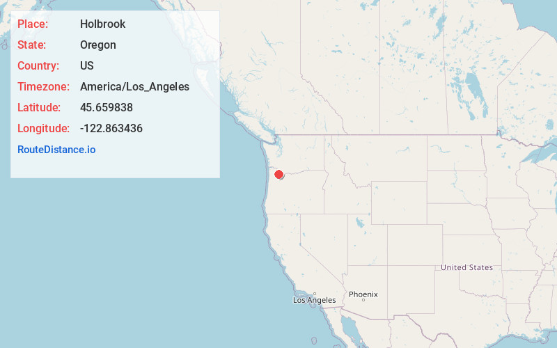
Location Information
-
Full AddressHolbrook, OR 97231
-
Coordinates45.6598376, -122.8634358
-
LocationHolbrook , Oregon , US
-
TimezoneAmerica/Los_Angeles
-
Current Local Time11:26:15 PM America/Los_AngelesWednesday, June 18, 2025
-
Page Views0
About Holbrook
Holbrook is an unincorporated community in Multnomah County, Oregon, United States. It is located on U.S. Route 30 about 15 miles northwest of Portland between the Tualatin Mountains and the Multnomah Channel south of Sauvie Island. Holbrook's elevation is 135 feet above sea level.

Nearby Places
Found 10 places within 50 miles

Burlington
1.4 mi
2.3 km
Burlington, OR 97231
Get directions
West Union
6.2 mi
10.0 km
West Union, OR 97124
Get directions

Scappoose
6.8 mi
10.9 km
Scappoose, OR 97056
Get directions

North Plains
7.9 mi
12.7 km
North Plains, OR 97133
Get directions

Felida
8.3 mi
13.4 km
Felida, WA 98685
Get directions
Lake Shore
8.6 mi
13.8 km
Lake Shore, WA
Get directions
Mountaindale
8.8 mi
14.2 km
Mountaindale, OR 97133
Get directions

Vancouver
9.4 mi
15.1 km
Vancouver, WA
Get directions
Sara
9.6 mi
15.4 km
Sara, WA 98642
Get directions

Cedar Hills
10.8 mi
17.4 km
Cedar Hills, OR
Get directions
Location Links
Local Weather
Weather Information
Coming soon!
Location Map
Static map view of Holbrook, Oregon
Browse Places by Distance
Places within specific distances from Holbrook
Short Distances
Long Distances
Click any distance to see all places within that range from Holbrook. Distances shown in miles (1 mile ≈ 1.61 kilometers).