Distance to Holgate, Ohio

Calculating Your Route
Just a moment while we process your request...
Location Information
-
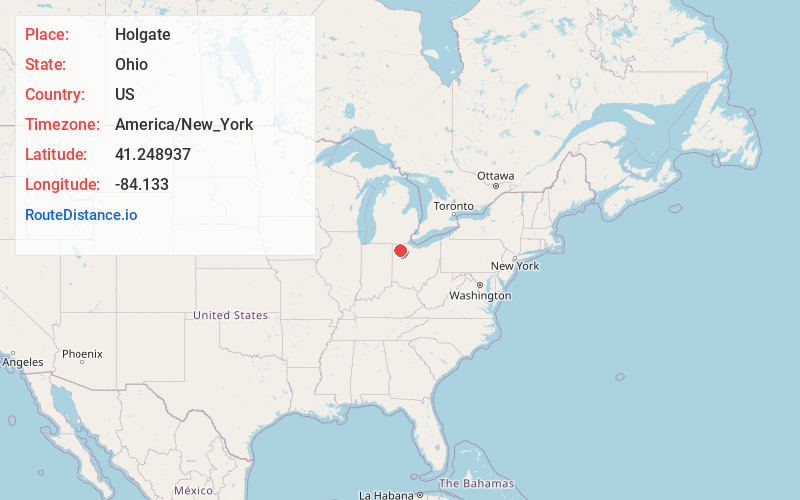
Full AddressHolgate, OH 43527
-
Coordinates41.2489374, -84.133
-
LocationHolgate , Ohio , US
-
TimezoneAmerica/New_York
-
Current Local Time6:08:31 PM America/New_YorkTuesday, May 27, 2025
-
Page Views0
About Holgate
Holgate is a village in Henry County, Ohio, United States. The population was 1,061 at the 2020 census.
Nearby Places
Found 10 places within 50 miles

Napoleon
9.9 mi
15.9 km
Napoleon, OH 43545
Get directions

Defiance
11.8 mi
19.0 km
Defiance, OH 43512
Get directions

Continental
12.4 mi
20.0 km
Continental, OH 45831
Get directions

Deshler
12.5 mi
20.1 km
Deshler, OH 43516
Get directions

Leipsic
13.0 mi
20.9 km
Leipsic, OH 45856
Get directions

Ottawa
16.5 mi
26.6 km
Ottawa, OH 45875
Get directions

Weston
18.6 mi
29.9 km
Weston, OH 43569
Get directions
Kalida
18.7 mi
30.1 km
Kalida, OH
Get directions
McComb
20.2 mi
32.5 km
McComb, OH 45858
Get directions

Wauseon
20.8 mi
33.5 km
Wauseon, OH 43567
Get directions
Location Links
Local Weather
Weather Information
Coming soon!
Location Map
Static map view of Holgate, Ohio
Browse Places by Distance
Places within specific distances from Holgate
Short Distances
Long Distances
Click any distance to see all places within that range from Holgate. Distances shown in miles (1 mile ≈ 1.61 kilometers).