Distance to Hollenberg, Kansas

Calculating Your Route
Just a moment while we process your request...
Location Information
-
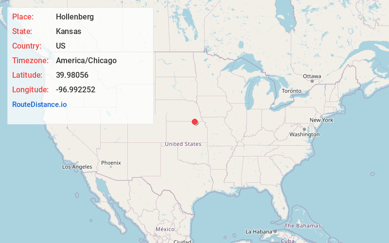
Full AddressHollenberg, KS 66946
-
Coordinates39.9805597, -96.9922515
-
LocationHollenberg , Kansas , US
-
TimezoneAmerica/Chicago
-
Current Local Time8:42:17 AM America/ChicagoSaturday, May 31, 2025
-
Page Views0
About Hollenberg
Hollenberg is a city in Washington County, Kansas, United States. As of the 2020 census, the population of the city was 10. It is located 1.5 miles south of the Nebraska state line.
Nearby Places
Found 10 places within 50 miles

Steele City
4.2 mi
6.8 km
Steele City, NE 68440
Get directions

Hanover
8.5 mi
13.7 km
Hanover, KS
Get directions

Endicott
9.0 mi
14.5 km
Endicott, NE
Get directions

Diller
9.3 mi
15.0 km
Diller, NE 68342
Get directions

Odell
11.1 mi
17.9 km
Odell, NE 68415
Get directions
Washington
11.7 mi
18.8 km
Washington, KS 66968
Get directions
Bremen
12.1 mi
19.5 km
Bremen, KS 66412
Get directions
Morrowville
13.4 mi
21.6 km
Morrowville, KS 66958
Get directions
Harbine
14.7 mi
23.7 km
Harbine, NE 68377
Get directions

Jansen
15.0 mi
24.1 km
Jansen, NE
Get directions
Location Links
Local Weather
Weather Information
Coming soon!
Location Map
Static map view of Hollenberg, Kansas
Browse Places by Distance
Places within specific distances from Hollenberg
Short Distances
Long Distances
Click any distance to see all places within that range from Hollenberg. Distances shown in miles (1 mile ≈ 1.61 kilometers).