Distance to Hollis Depot, New Hampshire

Calculating Your Route
Just a moment while we process your request...
Location Information
-
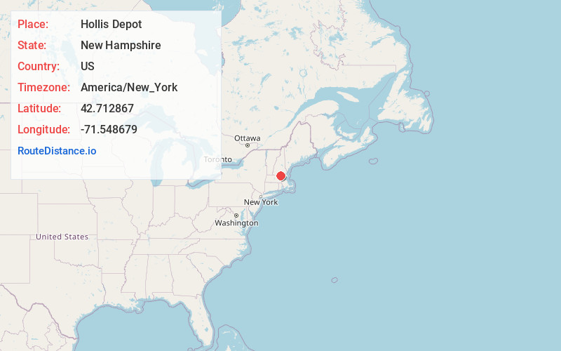
Full AddressHollis Depot, Hollis, NH 03049
-
Coordinates42.7128667, -71.5486789
-
LocationHollis , New Hampshire , US
-
TimezoneAmerica/New_York
-
Current Local Time7:56:57 PM America/New_YorkThursday, June 19, 2025
-
Page Views1
Nearby Places
Found 10 places within 50 miles

Hollis
2.9 mi
4.7 km
Hollis, NH 03049
Get directions

Pepperell
3.8 mi
6.1 km
Pepperell, MA 01463
Get directions

Dunstable
4.2 mi
6.8 km
Dunstable, MA 01827
Get directions

Broad Acres
4.4 mi
7.1 km
Broad Acres, Nashua, NH 03063
Get directions

Nashua
5.3 mi
8.5 km
Nashua, NH
Get directions

Brookline
5.8 mi
9.3 km
Brookline, NH
Get directions

Hudson
6.6 mi
10.6 km
Hudson, NH 03051
Get directions

Tyngsborough
6.8 mi
10.9 km
Tyngsborough, MA
Get directions

Groton
7.3 mi
11.7 km
Groton, MA
Get directions

Townsend
8.6 mi
13.8 km
Townsend, MA
Get directions
Location Links
Local Weather
Weather Information
Coming soon!
Location Map
Static map view of Hollis Depot, New Hampshire
Browse Places by Distance
Places within specific distances from Hollis Depot
Short Distances
Long Distances
Click any distance to see all places within that range from Hollis Depot. Distances shown in miles (1 mile ≈ 1.61 kilometers).