Distance to Holliston, Massachusetts

Calculating Your Route
Just a moment while we process your request...
Location Information
-
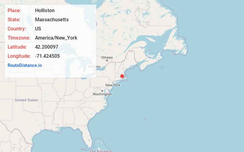
Full AddressHolliston, MA 01746
-
Coordinates42.2000966, -71.4245049
-
LocationHolliston , Massachusetts , US
-
TimezoneAmerica/New_York
-
Current Local Time5:02:48 AM America/New_YorkSunday, June 22, 2025
-
Page Views0
About Holliston
Holliston is a New England town in Middlesex County, Massachusetts, United States in the Greater Boston area. The population was 14,996 at the 2020 census. It is located in MetroWest, a Massachusetts region that is west of Boston.


Nearby Places
Found 10 places within 50 miles

Ashland
4.7 mi
7.6 km
Ashland, MA
Get directions

Hopkinton
5.4 mi
8.7 km
Hopkinton, MA 01748
Get directions

Framingham
5.5 mi
8.9 km
Framingham, MA
Get directions

Milford
6.3 mi
10.1 km
Milford, MA 01757
Get directions

Natick
6.7 mi
10.8 km
Natick, MA
Get directions

Franklin
8.2 mi
13.2 km
Franklin, MA 02038
Get directions

Bellingham
8.3 mi
13.4 km
Bellingham, MA 02019
Get directions

Westwood
10.3 mi
16.6 km
Westwood, MA 02090
Get directions

Westborough
10.8 mi
17.4 km
Westborough, MA
Get directions

Wellesley
11.0 mi
17.7 km
Wellesley, MA
Get directions
Location Links
Local Weather
Weather Information
Coming soon!
Location Map
Static map view of Holliston, Massachusetts
Browse Places by Distance
Places within specific distances from Holliston
Short Distances
Long Distances
Click any distance to see all places within that range from Holliston. Distances shown in miles (1 mile ≈ 1.61 kilometers).