Distance to Holmes Township, Ohio

Calculating Your Route
Just a moment while we process your request...
Location Information
-
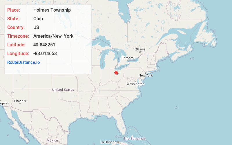
Full AddressHolmes Township, OH
-
Coordinates40.8482511, -83.0146526
-
LocationHolmes Township , Ohio , US
-
TimezoneAmerica/New_York
-
Current Local Time2:30:29 AM America/New_YorkWednesday, June 25, 2025
-
Page Views0
About Holmes Township
Holmes Township is one of the sixteen townships of Crawford County, Ohio, United States. As of the 2020 census the population was 1,246.
Nearby Places
Found 10 places within 50 miles

Spore
1.6 mi
2.6 km
Spore, Holmes Township, OH 44820
Get directions

Bucyrus
3.4 mi
5.5 km
Bucyrus, OH 44820
Get directions
Broken Sword
4.1 mi
6.6 km
Broken Sword, OH 44820
Get directions
Oceola
4.1 mi
6.6 km
Oceola, OH
Get directions
Ridgeton
5.1 mi
8.2 km
Ridgeton, Liberty Township, OH 44820
Get directions
Lemert
5.2 mi
8.4 km
Lemert, OH 44882
Get directions

Nevada
6.4 mi
10.3 km
Nevada, OH 44849
Get directions
Benton
6.8 mi
10.9 km
Benton, OH 44882
Get directions
Sulphur Springs
7.4 mi
11.9 km
Sulphur Springs, OH 44820
Get directions
Edenville
7.8 mi
12.6 km
Edenville, OH 44849
Get directions
Location Links
Local Weather
Weather Information
Coming soon!
Location Map
Static map view of Holmes Township, Ohio
Browse Places by Distance
Places within specific distances from Holmes Township
Short Distances
Long Distances
Click any distance to see all places within that range from Holmes Township. Distances shown in miles (1 mile ≈ 1.61 kilometers).