Distance to Homer, Ohio

Calculating Your Route
Just a moment while we process your request...
Location Information
-
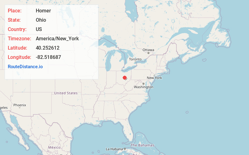
Full AddressHomer, OH 43080
-
Coordinates40.2526121, -82.5186867
-
LocationHomer , Ohio , US
-
TimezoneAmerica/New_York
-
Current Local Time1:38:42 AM America/New_YorkMonday, May 19, 2025
-
Page Views0
About Homer
Homer is an unincorporated community in northern Burlington Township, Licking County, Ohio, United States. It lies along State Route 661 between Granville and Mount Vernon.
Nearby Places
Found 10 places within 50 miles

Utica
3.8 mi
6.1 km
Utica, OH 43080
Get directions

Hunt
5.3 mi
8.5 km
Hunt, Pleasant Township, OH 43050
Get directions
Appleton
6.0 mi
9.7 km
Appleton, OH 43031
Get directions
New Way
7.4 mi
11.9 km
New Way, Liberty Township, OH 43031
Get directions
St Louisville
7.6 mi
12.2 km
St Louisville, OH 43071
Get directions

Martinsburg
8.8 mi
14.2 km
Martinsburg, OH
Get directions
Hartford
8.9 mi
14.3 km
Hartford, OH 43013
Get directions

Mt Vernon
9.9 mi
15.9 km
Mt Vernon, OH 43050
Get directions

Centerburg
10.0 mi
16.1 km
Centerburg, OH 43011
Get directions
Purity
10.2 mi
16.4 km
Purity, Eden Township, OH 43071
Get directions
Location Links
Local Weather
Weather Information
Coming soon!
Location Map
Static map view of Homer, Ohio
Browse Places by Distance
Places within specific distances from Homer
Short Distances
Long Distances
Click any distance to see all places within that range from Homer. Distances shown in miles (1 mile ≈ 1.61 kilometers).