Distance to Homestead, Oregon

Calculating Your Route
Just a moment while we process your request...
Location Information
-
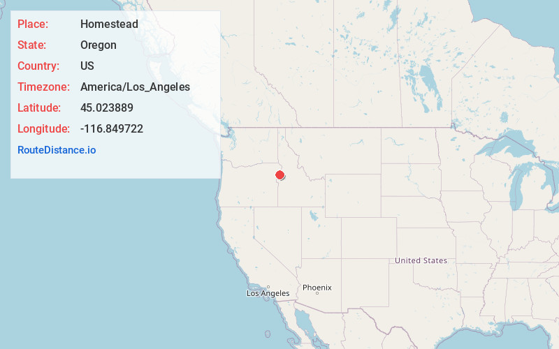
Full AddressHomestead, OR 97840
-
Coordinates45.0238889, -116.849722
-
LocationHomestead , Oregon , US
-
TimezoneAmerica/Los_Angeles
-
Current Local Time5:04:11 AM America/Los_AngelesSunday, June 8, 2025
-
Page Views0
About Homestead
Homestead is an unincorporated community in Baker County, in the U.S. state of Oregon. Homestead lies on the Snake River south of Hells Canyon National Recreation Area and about 4 miles north of Copperfield and Oxbow.


Nearby Places
Found 10 places within 50 miles

Landore
12.8 mi
20.6 km
Landore, ID 83612
Get directions
Pine
16.2 mi
26.1 km
Pine, OR 97834
Get directions

Halfway
16.3 mi
26.2 km
Halfway, OR 97834
Get directions

Cornucopia
16.7 mi
26.9 km
Cornucopia, OR 97834
Get directions

Carson
17.0 mi
27.4 km
Carson, OR 97834
Get directions
Starkey
23.0 mi
37.0 km
Starkey, ID 83612
Get directions

Richland
23.5 mi
37.8 km
Richland, OR 97870
Get directions
Evergreen
24.3 mi
39.1 km
Evergreen, ID 83612
Get directions
Sparta
25.5 mi
41.0 km
Sparta, OR 97870
Get directions
Stevens
26.0 mi
41.8 km
Stevens, ID 83612
Get directions
Location Links
Local Weather
Weather Information
Coming soon!
Location Map
Static map view of Homestead, Oregon
Browse Places by Distance
Places within specific distances from Homestead
Short Distances
Long Distances
Click any distance to see all places within that range from Homestead. Distances shown in miles (1 mile ≈ 1.61 kilometers).