Distance to Hontubby, Oklahoma

Calculating Your Route
Just a moment while we process your request...
Location Information
-
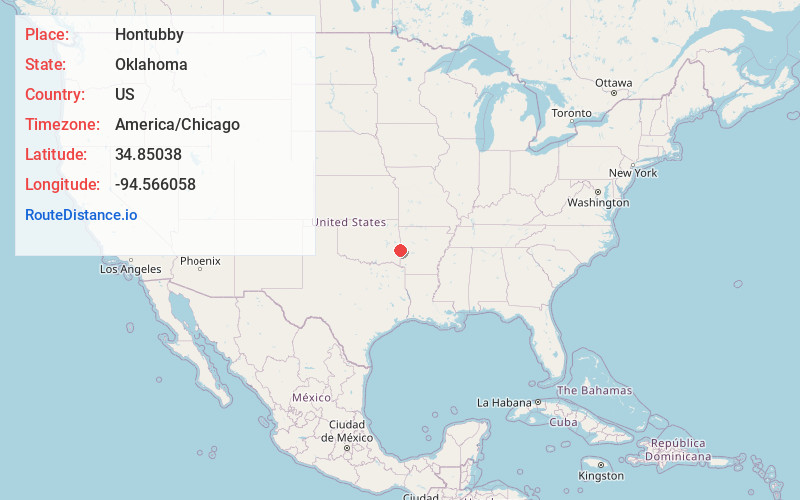
Full AddressHontubby, OK 74937
-
Coordinates34.8503797, -94.5660581
-
LocationOklahoma , US
-
TimezoneAmerica/Chicago
-
Current Local Time4:11:23 AM America/ChicagoTuesday, July 1, 2025
-
Page Views0
About Hontubby
Hontubby is an unincorporated community in Le Flore County, Oklahoma, United States.
Nearby Places
Found 10 places within 50 miles

Forrester
2.7 mi
4.3 km
Forrester, OK 74937
Get directions

Hodgen
3.7 mi
6.0 km
Hodgen, OK
Get directions

Heavener
3.8 mi
6.1 km
Heavener, OK 74937
Get directions
Haw Creek
6.3 mi
10.1 km
Haw Creek, OK 74937
Get directions
Conser
6.8 mi
10.9 km
Conser, OK 74937
Get directions
Stapp
7.4 mi
11.9 km
Stapp, OK 74937
Get directions

Howe
8.0 mi
12.9 km
Howe, OK 74940
Get directions
Weeks
8.6 mi
13.8 km
Weeks, AR 72958
Get directions
Puryear
8.9 mi
14.3 km
Puryear, AR 71953
Get directions
Black Fork
9.6 mi
15.4 km
Black Fork, AR 71953
Get directions
Location Links
Local Weather
Weather Information
Coming soon!
Location Map
Static map view of Hontubby, Oklahoma
Browse Places by Distance
Places within specific distances from Hontubby
Short Distances
Long Distances
Click any distance to see all places within that range from Hontubby. Distances shown in miles (1 mile ≈ 1.61 kilometers).