Distance to Black Fork, Arkansas

Calculating Your Route
Just a moment while we process your request...
Location Information
-
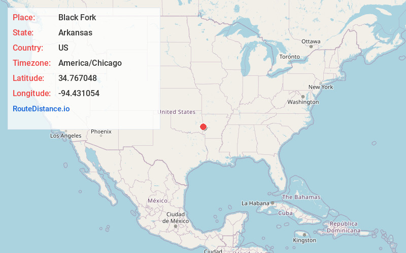
Full AddressBlack Fork, AR 71953
-
Coordinates34.7670479, -94.4310542
-
LocationBlack Fork , Arkansas , US
-
TimezoneAmerica/Chicago
-
Current Local Time1:56:15 AM America/ChicagoTuesday, June 17, 2025
-
Page Views0
Nearby Places
Found 10 places within 50 miles

Puryear
1.6 mi
2.6 km
Puryear, AR 71953
Get directions
Haw Creek
4.5 mi
7.2 km
Haw Creek, OK 74937
Get directions
Self Mountain
6.6 mi
10.6 km
Self Mountain, Arkansas 71953
Get directions
Weeks
7.9 mi
12.7 km
Weeks, AR 72958
Get directions
Forrester
9.1 mi
14.6 km
Forrester, OK 74937
Get directions
Gipson
9.4 mi
15.1 km
Gipson, AR 72958
Get directions

Eagleton
9.5 mi
15.3 km
Eagleton, AR 71953
Get directions

Bates
10.1 mi
16.3 km
Bates, AR 72958
Get directions
Stapp
11.0 mi
17.7 km
Stapp, OK 74937
Get directions

Hodgen
12.5 mi
20.1 km
Hodgen, OK
Get directions
Location Links
Local Weather
Weather Information
Coming soon!
Location Map
Static map view of Black Fork, Arkansas
Browse Places by Distance
Places within specific distances from Black Fork
Short Distances
Long Distances
Click any distance to see all places within that range from Black Fork. Distances shown in miles (1 mile ≈ 1.61 kilometers).