Distance to Stapp, Oklahoma

Calculating Your Route
Just a moment while we process your request...
Location Information
-
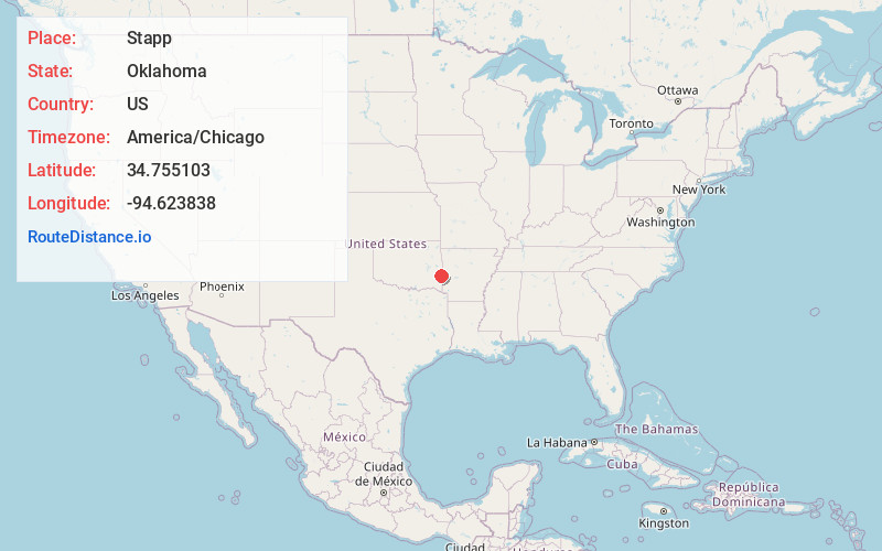
Full AddressStapp, OK 74937
-
Coordinates34.7551032, -94.6238377
-
LocationOklahoma , US
-
TimezoneAmerica/Chicago
-
Current Local Time9:07:51 PM America/ChicagoThursday, June 19, 2025
-
Page Views0
About Stapp
Stapp is an unincorporated community in Le Flore County, Oklahoma, United States. It is located approximately eight miles south of Heavener on US Route 59.
Nearby Places
Found 10 places within 50 miles

Hodgen
6.0 mi
9.7 km
Hodgen, OK
Get directions

Big Cedar Creek
6.1 mi
9.8 km
Big Cedar Creek, Oklahoma 74939
Get directions

Conser
6.8 mi
10.9 km
Conser, OK 74937
Get directions

Muse
9.8 mi
15.8 km
Muse, OK 74949
Get directions

Heavener
9.8 mi
15.8 km
Heavener, OK 74937
Get directions
Forrester
9.8 mi
15.8 km
Forrester, OK 74937
Get directions

Howe
13.6 mi
21.9 km
Howe, OK 74940
Get directions
Whitesboro
15.5 mi
24.9 km
Whitesboro, OK
Get directions

Wister
15.8 mi
25.4 km
Wister, OK 74966
Get directions
Gipson
16.7 mi
26.9 km
Gipson, AR 72958
Get directions
Location Links
Local Weather
Weather Information
Coming soon!
Location Map
Static map view of Stapp, Oklahoma
Browse Places by Distance
Places within specific distances from Stapp
Short Distances
Long Distances
Click any distance to see all places within that range from Stapp. Distances shown in miles (1 mile ≈ 1.61 kilometers).