Distance to Whitesboro, Oklahoma

Calculating Your Route
Just a moment while we process your request...
Location Information
-
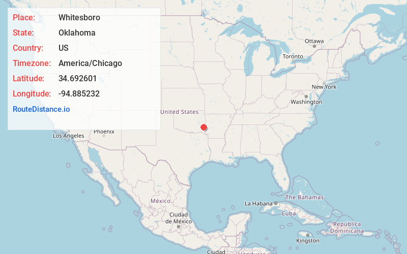
Full AddressWhitesboro, OK
-
Coordinates34.6926014, -94.885232
-
LocationWhitesboro , Oklahoma , US
-
TimezoneAmerica/Chicago
-
Current Local Time9:34:33 AM America/ChicagoWednesday, May 21, 2025
-
Page Views0
About Whitesboro
Whitesboro is an unincorporated community and census-designated place in Le Flore County, Oklahoma, United States. The population was 250 as of the 2010 census.
A post office opened at Whitesboro, Indian Territory on April 14, 1902. The community took its name from Paul White, an early-day settler.
Nearby Places
Found 10 places within 50 miles

Talihina
10.1 mi
16.3 km
Talihina, OK 74571
Get directions

Little Rock Creek
12.3 mi
19.8 km
Little Rock Creek, Oklahoma 74957
Get directions

Le Flore
15.2 mi
24.5 km
Le Flore, OK
Get directions

Fanshawe
17.9 mi
28.8 km
Fanshawe, OK 74966
Get directions
Red Oak
21.0 mi
33.8 km
Red Oak, OK 74563
Get directions

Wister
21.0 mi
33.8 km
Wister, OK 74966
Get directions

Heavener
21.3 mi
34.3 km
Heavener, OK 74937
Get directions

Howe
22.7 mi
36.5 km
Howe, OK 74940
Get directions

Clayton
27.5 mi
44.3 km
Clayton, OK 74536
Get directions

Wilburton
28.7 mi
46.2 km
Wilburton, OK 74578
Get directions
Location Links
Local Weather
Weather Information
Coming soon!
Location Map
Static map view of Whitesboro, Oklahoma
Browse Places by Distance
Places within specific distances from Whitesboro
Short Distances
Long Distances
Click any distance to see all places within that range from Whitesboro. Distances shown in miles (1 mile ≈ 1.61 kilometers).