Distance to Self Mountain, Arkansas

Calculating Your Route
Just a moment while we process your request...
Location Information
-
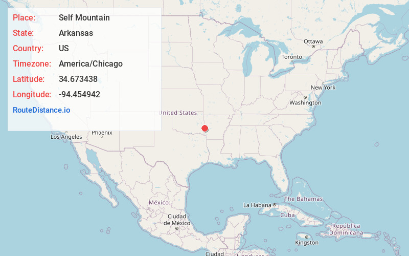
Full AddressSelf Mountain, Arkansas 71953
-
Coordinates34.6734376, -94.4549423
-
LocationArkansas , US
-
TimezoneAmerica/Chicago
-
Current Local Time4:35:23 AM America/ChicagoSaturday, June 21, 2025
-
Page Views0
Nearby Places
Found 10 places within 50 miles

Eagleton
8.8 mi
14.2 km
Eagleton, AR 71953
Get directions

Mountain Fork
10.5 mi
16.9 km
Mountain Fork, Arkansas 71945
Get directions
Potter
10.6 mi
17.1 km
Potter, AR 71953
Get directions
Stapp
11.1 mi
17.9 km
Stapp, OK 74937
Get directions

Big Cedar Creek
11.2 mi
18.0 km
Big Cedar Creek, Oklahoma 74939
Get directions
Hatfield
13.7 mi
22.0 km
Hatfield, AR 71945
Get directions

Mena
13.9 mi
22.4 km
Mena, AR 71953
Get directions
Beachton
14.1 mi
22.7 km
Beachton, OK 74957
Get directions
Forrester
14.3 mi
23.0 km
Forrester, OK 74937
Get directions
Weeks
14.5 mi
23.3 km
Weeks, AR 72958
Get directions
Location Links
Local Weather
Weather Information
Coming soon!
Location Map
Static map view of Self Mountain, Arkansas
Browse Places by Distance
Places within specific distances from Self Mountain
Short Distances
Long Distances
Click any distance to see all places within that range from Self Mountain. Distances shown in miles (1 mile ≈ 1.61 kilometers).