Distance to Hood Canal Floating Bridge, Washington

Calculating Your Route
Just a moment while we process your request...
Location Information
-
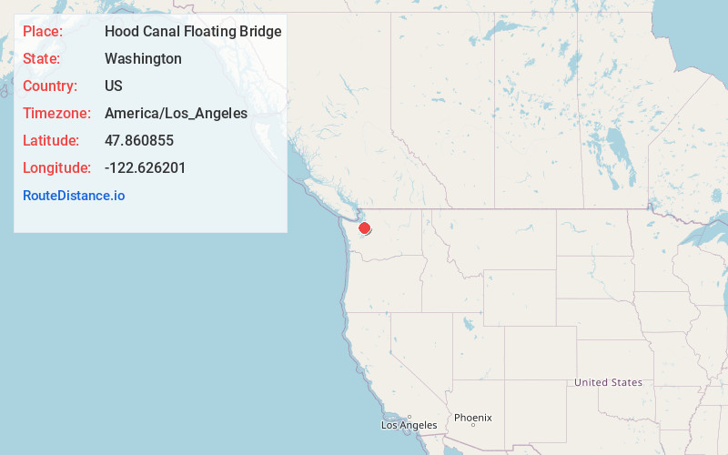
Full AddressHood Canal Floating Bridge, Poulsbo, WA
-
Coordinates47.8608551, -122.6262007
-
LocationPoulsbo , Washington , US
-
TimezoneAmerica/Los_Angeles
-
Current Local Time4:38:28 AM America/Los_AngelesSunday, June 22, 2025
-
Website
-
Page Views0


Nearby Places
Found 10 places within 50 miles

Port Gamble
2.0 mi
3.2 km
Port Gamble, WA 98370
Get directions

Bridgehaven
3.5 mi
5.6 km
Bridgehaven, WA 98365
Get directions

Lofall
3.7 mi
6.0 km
Lofall, WA 98370
Get directions
Striebels Corner
4.7 mi
7.6 km
Striebels Corner, WA 98346
Get directions
Eglon
5.2 mi
8.4 km
Eglon, WA 98346
Get directions

Port Ludlow
5.2 mi
8.4 km
Port Ludlow, WA
Get directions

Hansville
5.2 mi
8.4 km
Hansville, WA
Get directions
Rose Point
5.4 mi
8.7 km
Rose Point, WA 98346
Get directions
Mats Mats
6.3 mi
10.1 km
Mats Mats, WA 98365
Get directions
Vinland
6.9 mi
11.1 km
Vinland, WA 98370
Get directions
Location Links
Local Weather
Weather Information
Coming soon!
Location Map
Static map view of Hood Canal Floating Bridge, Washington
Browse Places by Distance
Places within specific distances from Hood Canal Floating Bridge
Short Distances
Long Distances
Click any distance to see all places within that range from Hood Canal Floating Bridge. Distances shown in miles (1 mile ≈ 1.61 kilometers).