Distance to Hooper, Kentucky

Calculating Your Route
Just a moment while we process your request...
Location Information
-
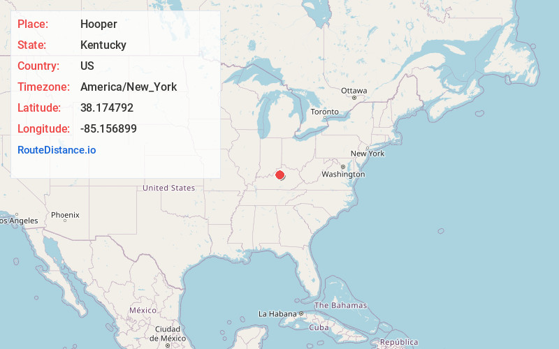
Full AddressHooper, KY 40065
-
Coordinates38.1747922, -85.1568987
-
LocationKentucky , US
-
TimezoneAmerica/New_York
-
Current Local Time9:03:06 AM America/New_YorkSaturday, May 31, 2025
-
Page Views0
Nearby Places
Found 10 places within 50 miles

Hemp Ridge
2.8 mi
4.5 km
Hemp Ridge, KY 40076
Get directions
Veachland
3.4 mi
5.5 km
Veachland, KY 40065
Get directions

Shelbyville
4.2 mi
6.8 km
Shelbyville, KY 40065
Get directions
Mulberry
6.4 mi
10.3 km
Mulberry, KY 40065
Get directions
Olive Branch
6.8 mi
10.9 km
Olive Branch, KY 40065
Get directions
Junte
7.2 mi
11.6 km
Junte, KY 40076
Get directions
Joyes
7.7 mi
12.4 km
Joyes, KY 40065
Get directions
Christianburg
7.8 mi
12.6 km
Christianburg, KY 40065
Get directions
Graefenburg
7.9 mi
12.7 km
Graefenburg, KY 40076
Get directions

Bagdad
8.1 mi
13.0 km
Bagdad, KY 40003
Get directions
Location Links
Local Weather
Weather Information
Coming soon!
Location Map
Static map view of Hooper, Kentucky
Browse Places by Distance
Places within specific distances from Hooper
Short Distances
Long Distances
Click any distance to see all places within that range from Hooper. Distances shown in miles (1 mile ≈ 1.61 kilometers).