Distance to Hopedale, Massachusetts

Calculating Your Route
Just a moment while we process your request...
Location Information
-
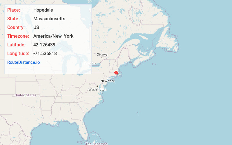
Full AddressHopedale, MA
-
Coordinates42.1264389, -71.5368176
-
LocationHopedale , Massachusetts , US
-
TimezoneAmerica/New_York
-
Current Local Time8:08:28 PM America/New_YorkSunday, June 22, 2025
-
Website
-
Page Views0
About Hopedale
Hopedale is a town in Worcester County, Massachusetts, United States. It is located 25 miles southwest of Boston, in eastern Massachusetts. With origins as a Christian utopian community, the town was later home to Draper Corporation, a large loom manufacturer throughout the 20th century until its closure in 1980.


Nearby Places
Found 10 places within 50 miles

Milford
1.4 mi
2.3 km
Milford, MA 01757
Get directions

Bellingham
4.2 mi
6.8 km
Bellingham, MA 02019
Get directions

Upton
4.7 mi
7.6 km
Upton, MA
Get directions

Blackstone
5.8 mi
9.3 km
Blackstone, MA 01504
Get directions

Uxbridge
5.9 mi
9.5 km
Uxbridge, MA
Get directions

Northbridge
6.0 mi
9.7 km
Northbridge, MA
Get directions

Hopkinton
7.1 mi
11.4 km
Hopkinton, MA 01748
Get directions

Medway
7.3 mi
11.7 km
Medway, MA 02053
Get directions

Holliston
7.7 mi
12.4 km
Holliston, MA 01746
Get directions

Franklin
7.8 mi
12.6 km
Franklin, MA 02038
Get directions
Location Links
Local Weather
Weather Information
Coming soon!
Location Map
Static map view of Hopedale, Massachusetts
Browse Places by Distance
Places within specific distances from Hopedale
Short Distances
Long Distances
Click any distance to see all places within that range from Hopedale. Distances shown in miles (1 mile ≈ 1.61 kilometers).