Distance to Hornerstown, New Jersey

Calculating Your Route
Just a moment while we process your request...
Location Information
-
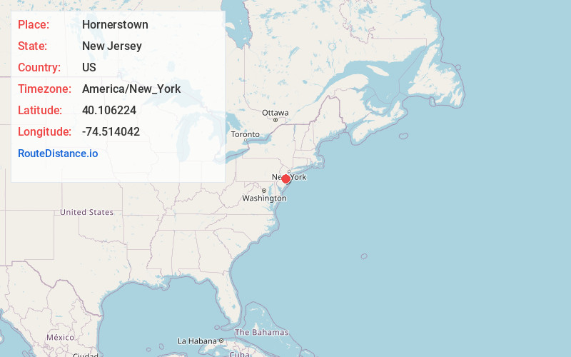
Full AddressHornerstown, Upper Freehold, NJ 08514
-
Coordinates40.106224, -74.514042
-
LocationUpper Freehold , New Jersey , US
-
TimezoneAmerica/New_York
-
Current Local Time6:30:35 AM America/New_YorkSunday, June 15, 2025
-
Page Views0
About Hornerstown
Hornerstown is an unincorporated community located within Upper Freehold Township in Monmouth County, in the U.S. state of New Jersey. Hornerstown is located near Cream Ridge and uses the 08514 ZIP code.
Nearby Places
Found 10 places within 50 miles

Plumsted
2.8 mi
4.5 km
Plumsted, NJ
Get directions

Walnford
3.1 mi
5.0 km
Walnford, Upper Freehold, NJ 08501
Get directions

Upper Freehold
3.3 mi
5.3 km
Upper Freehold, NJ
Get directions
Polhemustown
3.5 mi
5.6 km
Polhemustown, Upper Freehold, NJ 08501
Get directions
Brindletown
4.1 mi
6.6 km
Brindletown, Plumsted, NJ 08533
Get directions
Ellisdale
4.1 mi
6.6 km
Ellisdale, Upper Freehold, NJ 08501
Get directions
North Hanover
4.2 mi
6.8 km
North Hanover, NJ
Get directions
Colliers Mills
4.3 mi
6.9 km
Colliers Mills, Jackson Township, NJ 08527
Get directions
Pullentown
4.9 mi
7.9 km
Pullentown, Upper Freehold, NJ 08501
Get directions
Midwood
5.1 mi
8.2 km
Midwood, Jackson Township, NJ 08527
Get directions
Location Links
Local Weather
Weather Information
Coming soon!
Location Map
Static map view of Hornerstown, New Jersey
Browse Places by Distance
Places within specific distances from Hornerstown
Short Distances
Long Distances
Click any distance to see all places within that range from Hornerstown. Distances shown in miles (1 mile ≈ 1.61 kilometers).