Distance to Horrel Hill, South Carolina

Calculating Your Route
Just a moment while we process your request...
Location Information
-
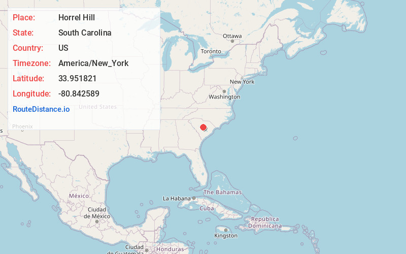
Full AddressHorrel Hill, SC 29061
-
Coordinates33.9518209, -80.8425889
-
LocationHorrel Hill , South Carolina , US
-
TimezoneAmerica/New_York
-
Current Local Time3:28:44 AM America/New_YorkTuesday, June 3, 2025
-
Page Views0
About Horrel Hill
Horrel Hill is an unincorporated community in Lower Richland County, South Carolina, United States. Situated south of Fort Jackson and northwest of McEntire Joint National Guard Base, it is centered at approximately the intersection of Garner's Ferry Road and Harmon Road/Horrel Hill Road.
Nearby Places
Found 10 places within 50 miles

Bruner
2.1 mi
3.4 km
Bruner, SC 29061
Get directions
Lykes
3.6 mi
5.8 km
Lykes, SC 29209
Get directions

Hopkins
3.8 mi
6.1 km
Hopkins, SC 29061
Get directions
Congaree
4.3 mi
6.9 km
Congaree, SC 29061
Get directions
Capitol View
5.2 mi
8.4 km
Capitol View, SC 29209
Get directions
Weston
5.6 mi
9.0 km
Weston, SC 29061
Get directions
Sims
6.6 mi
10.6 km
Sims, Columbia, SC 29209
Get directions

Gadsden
8.5 mi
13.7 km
Gadsden, SC
Get directions
Woodfield
9.0 mi
14.5 km
Woodfield, SC
Get directions
Arthurtown
9.1 mi
14.6 km
Arthurtown, SC 29201
Get directions
Location Links
Local Weather
Weather Information
Coming soon!
Location Map
Static map view of Horrel Hill, South Carolina
Browse Places by Distance
Places within specific distances from Horrel Hill
Short Distances
Long Distances
Click any distance to see all places within that range from Horrel Hill. Distances shown in miles (1 mile ≈ 1.61 kilometers).