Distance to Gadsden, South Carolina

Calculating Your Route
Just a moment while we process your request...
Location Information
-
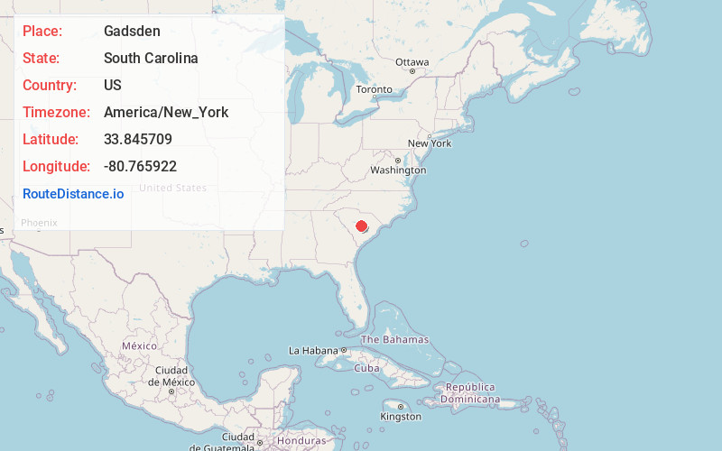
Full AddressGadsden, SC
-
Coordinates33.8457093, -80.7659223
-
LocationGadsden , South Carolina , US
-
TimezoneAmerica/New_York
-
Current Local Time3:35:16 AM America/New_YorkMonday, June 23, 2025
-
Page Views0
About Gadsden
Gadsden is a census-designated place in Richland County, South Carolina, United States. The population was 1,632 at the 2010 census. It is part of the Columbia, South Carolina metropolitan area.


Nearby Places
Found 10 places within 50 miles

Hopkins
7.6 mi
12.2 km
Hopkins, SC 29061
Get directions

St Matthews
12.5 mi
20.1 km
St Matthews, SC 29135
Get directions

Capitol View
12.9 mi
20.8 km
Capitol View, SC 29209
Get directions
Wedgefield
14.5 mi
23.3 km
Wedgefield, SC 29168
Get directions

Stateburg
15.3 mi
24.6 km
Stateburg, SC
Get directions
Arthurtown
15.6 mi
25.1 km
Arthurtown, SC 29201
Get directions
Woodfield
17.5 mi
28.2 km
Woodfield, SC
Get directions

Forest Acres
17.6 mi
28.3 km
Forest Acres, SC
Get directions

Dentsville
18.7 mi
30.1 km
Dentsville, SC
Get directions

Columbia
18.8 mi
30.3 km
Columbia, SC
Get directions
Location Links
Local Weather
Weather Information
Coming soon!
Location Map
Static map view of Gadsden, South Carolina
Browse Places by Distance
Places within specific distances from Gadsden
Short Distances
Long Distances
Click any distance to see all places within that range from Gadsden. Distances shown in miles (1 mile ≈ 1.61 kilometers).