Distance to St Matthews, South Carolina

Calculating Your Route
Just a moment while we process your request...
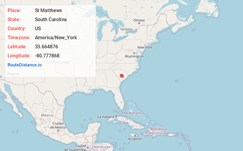
Location Information
-
Full AddressSt Matthews, SC 29135
-
Coordinates33.664876, -80.7778681
-
LocationSt Matthews , South Carolina , US
-
TimezoneAmerica/New_York
-
Current Local Time11:03:36 AM America/New_YorkSunday, June 8, 2025
-
Page Views0
About St Matthews
St. Matthews is a town in Calhoun County, South Carolina, United States. The population was 1,841 at the 2020 census, a decline from 2,021 in 2010. It is the county seat of Calhoun County.
St. Matthews is part of the Columbia, South Carolina Metropolitan Statistical Area.


Nearby Places
Found 10 places within 50 miles

Brookdale
11.2 mi
18.0 km
Brookdale, SC 29115
Get directions
Wilkinson Heights
12.3 mi
19.8 km
Wilkinson Heights, SC 29115
Get directions

Orangeburg
12.8 mi
20.6 km
Orangeburg, SC
Get directions
Wedgefield
21.3 mi
34.3 km
Wedgefield, SC 29168
Get directions

Gaston
21.3 mi
34.3 km
Gaston, SC 29053
Get directions
Capitol View
23.1 mi
37.2 km
Capitol View, SC 29209
Get directions
Arthurtown
24.1 mi
38.8 km
Arthurtown, SC 29201
Get directions
Privateer
24.4 mi
39.3 km
Privateer, SC
Get directions

Pine Ridge
25.4 mi
40.9 km
Pine Ridge, SC 29172
Get directions
South Congaree
26.7 mi
43.0 km
South Congaree, SC
Get directions
Location Links
Local Weather
Weather Information
Coming soon!
Location Map
Static map view of St Matthews, South Carolina
Browse Places by Distance
Places within specific distances from St Matthews
Short Distances
Long Distances
Click any distance to see all places within that range from St Matthews. Distances shown in miles (1 mile ≈ 1.61 kilometers).