Distance to and from Howe, Nebraska
Howe, NE 68305
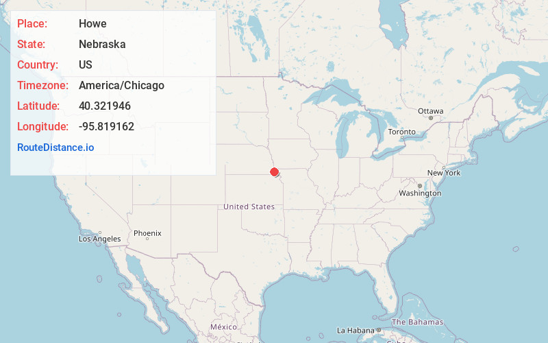
Howe
Nebraska
US
America/Chicago
Location Information
-
Full AddressHowe, NE 68305
-
Coordinates40.3219459, -95.819162
-
LocationHowe , Nebraska , US
-
TimezoneAmerica/Chicago
-
Current Local Time5:56:05 AM America/ChicagoSunday, May 4, 2025
-
Page Views0
Directions to Nearest Cities
About Howe
Howe is an unincorporated community in Nemaha County, Nebraska, United States. Howe is part of Zip code 68305, Auburn, Nebraska, with the nearest postal facility at Auburn.
Nearby Places
Found 10 places within 50 miles

Auburn
5.1 mi
8.2 km
Auburn, NE 68305
Get directions

Stella
6.6 mi
10.6 km
Stella, NE 68442
Get directions

Nemaha
7.8 mi
12.6 km
Nemaha, NE 68414
Get directions

Shubert
9.3 mi
15.0 km
Shubert, NE 68437
Get directions

Brownville
10.0 mi
16.1 km
Brownville, NE 68321
Get directions

Johnson
11.2 mi
18.0 km
Johnson, NE
Get directions

Peru
11.4 mi
18.3 km
Peru, NE 68421
Get directions

Humboldt
12.8 mi
20.6 km
Humboldt, NE 68376
Get directions
Phelps City
12.9 mi
20.8 km
Phelps City, MO 64482
Get directions
Brock
13.2 mi
21.2 km
Brock, NE 68320
Get directions
Auburn
5.1 mi
8.2 km
Auburn, NE 68305
Stella
6.6 mi
10.6 km
Stella, NE 68442
Nemaha
7.8 mi
12.6 km
Nemaha, NE 68414
Shubert
9.3 mi
15.0 km
Shubert, NE 68437
Brownville
10.0 mi
16.1 km
Brownville, NE 68321
Johnson
11.2 mi
18.0 km
Johnson, NE
Peru
11.4 mi
18.3 km
Peru, NE 68421
Humboldt
12.8 mi
20.6 km
Humboldt, NE 68376
Phelps City
12.9 mi
20.8 km
Phelps City, MO 64482
Brock
13.2 mi
21.2 km
Brock, NE 68320
Location Links
Local Weather
Weather Information
Coming soon!
Location Map
Static map view of Howe, Nebraska
Browse Places by Distance
Places within specific distances from Howe
Short Distances
Long Distances
Click any distance to see all places within that range from Howe. Distances shown in miles (1 mile ≈ 1.61 kilometers).