Distance to Howe Valley, Kentucky

Calculating Your Route
Just a moment while we process your request...
Location Information
-
Full AddressHowe Valley, KY 42724
-
Coordinates37.6872849, -86.0883005
-
LocationKentucky , US
-
TimezoneAmerica/New_York
-
Current Local Time2:24:40 PM America/New_YorkFriday, June 13, 2025
-
Page Views0
About Howe Valley
Howevalley is an unincorporated community in Hardin County, Kentucky, United States. Howe Valley is located on Kentucky Route 86 12.3 miles west of Elizabethtown.
A post office operated in the community from 1852 to 1908.
Nearby Places
Found 10 places within 50 miles

Vertrees
2.6 mi
4.2 km
Vertrees, KY 42724
Get directions

Eastview
7.0 mi
11.3 km
Eastview, KY 42732
Get directions

Cecilia
7.4 mi
11.9 km
Cecilia, KY 42724
Get directions

Rineyville
7.8 mi
12.6 km
Rineyville, KY
Get directions
Star Mills
8.5 mi
13.7 km
Star Mills, KY 42740
Get directions
Big Spring
8.5 mi
13.7 km
Big Spring, KY 40175
Get directions
Limp
8.9 mi
14.3 km
Limp, KY 42732
Get directions
High Plains
9.0 mi
14.5 km
High Plains, KY 40175
Get directions
White Mills
9.6 mi
15.4 km
White Mills, KY 42788
Get directions

Vine Grove
10.3 mi
16.6 km
Vine Grove, KY
Get directions
Location Links
Local Weather
Weather Information
Coming soon!
Location Map
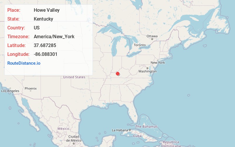
Static map view of Howe Valley, Kentucky
Browse Places by Distance
Places within specific distances from Howe Valley
Short Distances
Long Distances
Click any distance to see all places within that range from Howe Valley. Distances shown in miles (1 mile ≈ 1.61 kilometers).