Distance to Howes, South Dakota

Calculating Your Route
Just a moment while we process your request...
Location Information
-
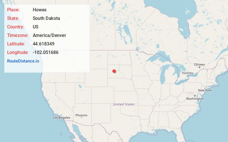
Full AddressHowes, SD 57748
-
Coordinates44.6183493, -102.0516855
-
LocationHowes , South Dakota , US
-
TimezoneAmerica/Denver
-
Current Local Time10:22:19 AM America/DenverSaturday, June 21, 2025
-
Page Views0
About Howes
Howes is an unincorporated community in Meade County, South Dakota, United States. There is just a combined store with gas pumps, post office, truck pullover and farm home there. Population and other demographics of Howes are not reported by the Census Bureau. The Howes post office serves the ZIP code of 57748.
Nearby Places
Found 10 places within 50 miles

Bridger
8.5 mi
13.7 km
Bridger, SD 57553
Get directions

Hartley
19.1 mi
30.7 km
Hartley, SD 57567
Get directions
Billsburg
23.7 mi
38.1 km
Billsburg, SD 57553
Get directions
Cherry Creek
27.2 mi
43.8 km
Cherry Creek, SD
Get directions

Faith
28.0 mi
45.1 km
Faith, SD 57626
Get directions
Chase
30.5 mi
49.1 km
Chase, SD 57623
Get directions
Elm Springs
31.5 mi
50.7 km
Elm Springs, SD 57791
Get directions
Lucerne
36.9 mi
59.4 km
Lucerne, East Haakon, SD 57567
Get directions
Dupree
37.0 mi
59.5 km
Dupree, SD 57623
Get directions
Kirley
37.0 mi
59.5 km
Kirley, SD 57552
Get directions
Location Links
Local Weather
Weather Information
Coming soon!
Location Map
Static map view of Howes, South Dakota
Browse Places by Distance
Places within specific distances from Howes
Short Distances
Long Distances
Click any distance to see all places within that range from Howes. Distances shown in miles (1 mile ≈ 1.61 kilometers).